Earthquake KURIL ISLANDS
Tue, 17 Feb 2026 14:26:48 GMT
Time2 days ago
Location
50.2500, 156.6900
Depth
50.0 KM
Event Summary
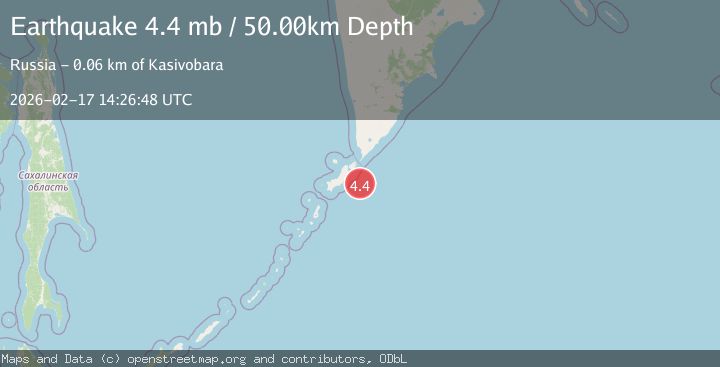
A 4.4 magnitude earthquake struck on KURIL ISLANDS, at Tue, 17 Feb 2026 14:26:48 GMT. Depth: 50km. Reviewed by GSRAS seismologists, this light quake occurred at a magnitude type of mb.
Magnitude
4.4
mb
Source
GSRAS
Intensity
-
Agency Reports
1 Sources| Source | Magnitude | Depth | Time |
|---|---|---|---|
| GSRASPrimary | 4.4 | 50 km | 2 days ago |
Earthquake Details
AutomaticEvent IDemsc_GSRAS_20260217_0000224
Tsunami PotentialNo
Magnitude Typemb
Nearest Places
- Oyashio35.5 km
- Skala Vladimira35.7 km
- Mel’ Koksher38.1 km
- Banka Kazach’ya39.0 km
- Rif Nezametnyy39.4 km
Comments
Join the discussion about this event.
Latest Earthquakes
4.2Mag
Java, Indonesia
Time3 minutes ago
Depth95.46 km
SourceVYT (Automatic)
1.6Mag
Sumbawa region, Indonesia
Time4 minutes ago
Depth11.47 km
SourceVYT (Automatic)
3.0Mag
southern Sumatra, Indonesia
Time4 minutes ago
Depth37.96 km
SourceVYT (Automatic)
3.1Mag
Near North Coast of West Papua
Time7 minutes ago
Depth10.00 km
SourceBMKG
3.1Mag
Sweden
Time12 minutes ago
Depth0.00 km
SourceVYT (Automatic)
Nearby Earthquakes
4.0Mag
KURIL ISLANDS
Time7 years ago
Depth50.00 km
SourceOBN (Automatic)
4.1Mag
KURIL ISLANDS
Time0 months ago
Depth25.00 km
SourceGSRAS (Automatic)
5.6Mag
KURIL ISLANDS
Time2 months ago
Depth47.00 km
SourceEMSC (Automatic)
4.0Mag
KURIL ISLANDS
Time2 years ago
Depth60.00 km
SourceGSRAS (Automatic)
5.1Mag
KURIL ISLANDS
Time6 months ago
Depth64.00 km
SourceEMSC (Automatic)