Earthquake Near North Coast of West Papua
Thu, 19 Feb 2026 18:05:10 GMT
Time1 hour ago
Location
-1.0147, 139.9313
Depth
10.0 KM
Event Summary
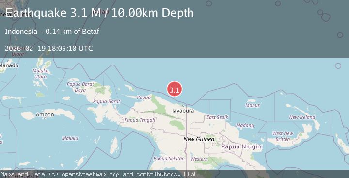
A 3.1 magnitude earthquake struck on Near North Coast of West Papua, at Thu, 19 Feb 2026 18:05:10 GMT. Depth: 10km. Reviewed by BMKG seismologists, this minor quake occurred at a magnitude type of M.
Magnitude
3.1
M
Source
BMKG
Intensity
-
Agency Reports
1 Sources| Source | Magnitude | Depth | Time |
|---|---|---|---|
| BMKGPrimary | 3.1 | 10 km | 1 hour ago |
Earthquake Details
ManualEvent IDbmg2026dmxl
Tsunami PotentialNo
Magnitude TypeM
Nearest Places
- Ansudu128.1 km
- Pulau Yamna131.9 km
- Pulau Yarsun132.7 km
- Pulau Anus132.8 km
- Pulau Podena133.3 km
Comments
Join the discussion about this event.
Latest Earthquakes
4.2Mag
Java, Indonesia
Time1 hour ago
Depth95.46 km
SourceVYT (Automatic)
1.6Mag
Sumbawa region, Indonesia
Time1 hour ago
Depth11.47 km
SourceVYT (Automatic)
3.0Mag
southern Sumatra, Indonesia
Time1 hour ago
Depth37.96 km
SourceVYT (Automatic)
3.1Mag
Sweden
Time1 hour ago
Depth0.00 km
SourceVYT (Automatic)
3.6Mag
Mindanao, Philippines
Time1 hour ago
Depth102.81 km
SourceBMKG
Nearby Earthquakes
3.2Mag
NEAR N COAST OF PAPUA, INDONESIA
Time1 month ago
Depth10.00 km
SourceBMKG (Automatic)
3.3Mag
NEAR N COAST OF PAPUA, INDONESIA
Time1 month ago
Depth10.00 km
SourceBMKG (Automatic)
3.0Mag
NEAR N COAST OF PAPUA, INDONESIA
Time1 month ago
Depth14.00 km
SourceBMKG (Automatic)
2.6Mag
PAPUA REGION, INDONESIA
Time3 days ago
Depth10.00 km
SourceBMKG (Automatic)
2.5Mag
Near North Coast of West Papua
Time3 weeks ago
Depth10.00 km
SourceBMKG (Automatic)