Earthquake STRAIT OF GIBRALTAR
Thu, 12 Feb 2026 15:12:37 GMT
Time6 days ago
Location
36.6132, -5.3511
Depth
8.1 KM
Event Summary
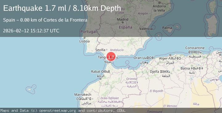
A 1.7 magnitude earthquake struck on STRAIT OF GIBRALTAR, at Thu, 12 Feb 2026 15:12:37 GMT. Depth: 8.1km. Reviewed by IGN seismologists, this minor quake occurred at a magnitude type of ml.
Magnitude
1.7
ml
Source
IGN
Intensity
-
Agency Reports
1 Sources| Source | Magnitude | Depth | Time |
|---|---|---|---|
| IGNPrimary | 1.7 | 8 km | 6 days ago |
Earthquake Details
AutomaticEvent IDemsc_IGN_20260212_0000193
Tsunami PotentialNo
Magnitude Typeml
Nearest Places
- Cortes de la Frontera0.9 km
- Sol y Sierra1.2 km
- Aziader2.6 km
- Sierra de los Pinos3.0 km
- Sierra Blanquilla4.9 km
Comments
Join the discussion about this event.
Latest Earthquakes
3.4Mag
NORTH ISLAND OF NEW ZEALAND
Time1 hour ago
Depth146.90 km
SourceGNS (Automatic)
2.6Mag
WESTERN TURKEY
Time1 hour ago
Depth7.30 km
SourceKOERI (Automatic)
3.7Mag
YUNNAN, CHINA
Time1 hour ago
Depth10.00 km
SourceTSB (Automatic)
2.8Mag
WESTERN AUSTRALIA
Time1 hour ago
Depth10.00 km
SourceAUST (Automatic)
1.5Mag
Southern California
Time1 hour ago
Depth18.43 km
SourceVYT (Automatic)
Nearby Earthquakes
2.2Mag
STRAIT OF GIBRALTAR
Time6 days ago
Depth9.40 km
SourceIGN (Automatic)
2.3Mag
STRAIT OF GIBRALTAR
Time4 days ago
Depth0.00 km
SourceIGN (Automatic)
2.3Mag
STRAIT OF GIBRALTAR
Time3 days ago
Depth0.00 km
SourceIGN (Automatic)
2.0Mag
STRAIT OF GIBRALTAR
Time1 week ago
Depth3.40 km
SourceIGN (Automatic)
2.4Mag
STRAIT OF GIBRALTAR
Time2 days ago
Depth2.10 km
SourceIGN (Automatic)