Earthquake STRAIT OF GIBRALTAR
Fri, 13 Feb 2026 19:21:52 GMT
Time5 days ago
Location
36.7017, -5.3115
Depth
5.3 KM
Event Summary
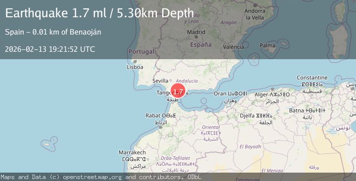
A 1.7 magnitude earthquake struck on STRAIT OF GIBRALTAR, at Fri, 13 Feb 2026 19:21:52 GMT. Depth: 5.3km. Reviewed by IGN seismologists, this minor quake occurred at a magnitude type of ml.
Magnitude
1.7
ml
Source
IGN
Intensity
-
Agency Reports
1 Sources| Source | Magnitude | Depth | Time |
|---|---|---|---|
| IGNPrimary | 1.7 | 5 km | 5 days ago |
Earthquake Details
AutomaticEvent IDemsc_IGN_20260213_0000291
Tsunami PotentialNo
Magnitude Typeml
Nearest Places
- Arroyo de los Álamos2.4 km
- Sierra del Palo2.8 km
- Montejaque3.8 km
- Llano de Libar4.3 km
- Los Brazales4.5 km
Comments
Join the discussion about this event.
Latest Earthquakes
2.5Mag
South of Java, Indonesia
Time20 hours ago
Depth10.40 km
SourceBMKG
2.7Mag
Near North Coast of West Papua
Time21 hours ago
Depth45.06 km
SourceBMKG
1.2Mag
Central Alaska
Time21 hours ago
Depth0.85 km
SourceVYT (Automatic)
2.6Mag
West Papua Region, Indonesia
Time21 hours ago
Depth10.00 km
SourceBMKG
2.3Mag
WESTERN TURKEY
Time21 hours ago
Depth10.10 km
SourceKOERI (Automatic)
Nearby Earthquakes
2.1Mag
STRAIT OF GIBRALTAR
Time5 days ago
Depth0.00 km
SourceIGN (Automatic)
1.5Mag
STRAIT OF GIBRALTAR
Time4 days ago
Depth0.00 km
SourceIGN (Automatic)
2.5Mag
STRAIT OF GIBRALTAR
Time2 days ago
Depth0.00 km
SourceIGN (Automatic)
1.5Mag
STRAIT OF GIBRALTAR
Time4 days ago
Depth0.20 km
SourceIGN (Automatic)
2.0Mag
STRAIT OF GIBRALTAR
Time6 days ago
Depth0.00 km
SourceIGN (Automatic)