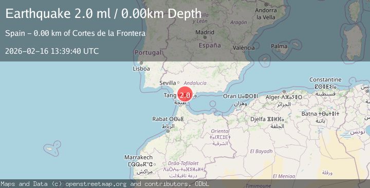
Earthquake STRAIT OF GIBRALTAR
Mon, 16 Feb 2026 13:39:40 GMT
Time2 days ago
Location
36.6072, -5.3737
Depth
0.0 KM
Event Summary
A 2.0 magnitude earthquake struck on STRAIT OF GIBRALTAR, at Mon, 16 Feb 2026 13:39:40 GMT. Depth: 0km. Reviewed by IGN seismologists, this minor quake occurred at a magnitude type of ml.
Magnitude
2.0
ml
Source
IGN
Intensity
-
Agency Reports
1 Sources| Source | Magnitude | Depth | Time |
|---|---|---|---|
| IGNPrimary | 2.0 | 0 km | 2 days ago |
Earthquake Details
AutomaticEvent IDemsc_IGN_20260216_0000190
Tsunami PotentialNo
Magnitude Typeml
Nearest Places
- Aziader0.6 km
- Sierra de los Pinos2.8 km
- Cortes de la Frontera3.0 km
- Sol y Sierra3.2 km
- Garganta de la Pulga3.7 km
Comments
Join the discussion about this event.
Latest Earthquakes
3.0Mag
Seram, Indonesia
Time3 hours ago
Depth3.59 km
SourceBMKG
3.4Mag
Rat Islands, Aleutian Islands, Alaska
Time3 hours ago
Depth112.18 km
SourceVYT (Automatic)
3.0Mag
Timor Region
Time3 hours ago
Depth49.07 km
SourceBMKG
3.2Mag
Southern Alaska
Time3 hours ago
Depth76.29 km
SourceVYT (Automatic)
3.4Mag
KEP. TANIMBAR REGION, INDONESIA
Time3 hours ago
Depth89.00 km
SourceBMKG (Automatic)
Nearby Earthquakes
1.6Mag
STRAIT OF GIBRALTAR
Time1 week ago
Depth0.00 km
SourceIGN (Automatic)
2.5Mag
STRAIT OF GIBRALTAR
Time4 days ago
Depth0.00 km
SourceIGN (Automatic)
1.9Mag
STRAIT OF GIBRALTAR
Time1 week ago
Depth0.00 km
SourceIGN (Automatic)
1.9Mag
STRAIT OF GIBRALTAR
Time1 week ago
Depth19.40 km
SourceIGN (Automatic)
1.5Mag
STRAIT OF GIBRALTAR
Time4 days ago
Depth0.50 km
SourceIGN (Automatic)