Earthquake STRAIT OF GIBRALTAR
Sun, 22 Feb 2026 15:08:38 GMT
Time1 hour ago
Location
36.6021, -5.3612
Depth
11.2 KM
Event Summary
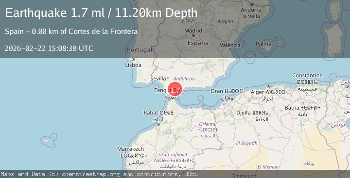
A 1.7 magnitude earthquake struck on STRAIT OF GIBRALTAR, at Sun, 22 Feb 2026 15:08:38 GMT. Depth: 11.2km. Reviewed by IGN seismologists, this minor quake occurred at a magnitude type of ml.
Magnitude
1.7
ml
Source
IGN
Intensity
-
Agency Reports
1 Sources| Source | Magnitude | Depth | Time |
|---|---|---|---|
| IGNPrimary | 1.7 | 11 km | 1 hour ago |
Earthquake Details
AutomaticEvent IDemsc_IGN_20260222_0000256
Tsunami PotentialNo
Magnitude Typeml
Nearest Places
- 1.9 km
- 2.4 km
- 2.7 km
- 3.6 km
- 3.9 km
Comments
Join the discussion about this event.
Latest Earthquakes
5.3Mag
southern Sumatra, Indonesia
Time53 minutes ago
Depth35.28 km
SourceVYT (Automatic)
1.4Mag
Washington
Time58 minutes ago
Depth0.00 km
SourceVYT (Automatic)
2.8Mag
Minahassa Peninsula, Sulawesi
Time1 hour ago
Depth132.85 km
SourceBMKG
3.1Mag
Celebes Sea
Time1 hour ago
Depth148.80 km
SourceVYT (Automatic)
3.1Mag
OFF E. COAST OF N. ISLAND, N.Z.
Time1 hour ago
Depth23.80 km
SourceGNS (Automatic)
Nearby Earthquakes
2.4Mag
STRAIT OF GIBRALTAR
Time5 days ago
Depth2.10 km
SourceIGN (Automatic)
1.5Mag
STRAIT OF GIBRALTAR
Time22 hours ago
Depth3.00 km
SourceIGN (Automatic)
1.5Mag
STRAIT OF GIBRALTAR
Time3 days ago
Depth0.00 km
SourceIGN (Automatic)
2.3Mag
STRAIT OF GIBRALTAR
Time6 days ago
Depth0.00 km
SourceIGN (Automatic)
2.2Mag
STRAIT OF GIBRALTAR
Time1 week ago
Depth0.00 km
SourceIGN (Automatic)