Earthquake DODECANESE IS.-TURKEY BORDER REG
Sat, 31 Jan 2026 01:23:57 GMT
Time6 hours ago
Location
36.9277, 27.6072
Depth
3.2 KM
Event Summary
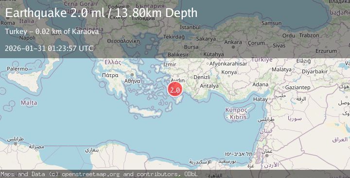
A 2.0 magnitude earthquake struck on DODECANESE IS.-TURKEY BORDER REG, at Sat, 31 Jan 2026 01:23:57 GMT. Depth: 3.2km. Reviewed by KOERI seismologists, this minor quake occurred at a magnitude type of ml.
Magnitude
2.0
ml
Source
KOERI
Intensity
-
Agency Reports
1 Sources| Source | Magnitude | Depth | Time |
|---|---|---|---|
| KOERIPrimary | 2.0 | 3 km | 6 hours ago |
Earthquake Details
AutomaticEvent IDemsc_KOERI_20260131_0000020
Tsunami PotentialNo
Magnitude Typeml
Nearest Places
- Orak Adası5.3 km
- İnce Burun6.4 km
- Koca Burun6.8 km
- Koca Burun6.8 km
- Yıldız Adaları7.2 km
Comments
Join the discussion about this event.
Latest Earthquakes
3.4Mag
EASTERN HONSHU, JAPAN
Time6 hours ago
Depth60.00 km
SourceJMA (Automatic)
3.0Mag
MORO GULF, MINDANAO, PHILIPPINES
Time6 hours ago
Depth16.00 km
SourcePIVS (Automatic)
0.6Mag
85 km NNW of Karluk, Alaska
Time6 hours ago
Depth5.00 km
SourceUSGS (Automatic)
3.5Mag
103 km SSE of Old Harbor, Alaska
Time7 hours ago
Depth11.10 km
SourceUSGS (Automatic)
3.5Mag
KODIAK ISLAND REGION, ALASKA
Time7 hours ago
Depth11.10 km
SourceAK (Automatic)
Nearby Earthquakes
2.3Mag
DODECANESE IS.-TURKEY BORDER REG
Time5 days ago
Depth7.20 km
SourceAFAD (Automatic)
2.0Mag
DODECANESE IS.-TURKEY BORDER REG
Time5 days ago
Depth3.90 km
SourceKOERI (Automatic)
2.0Mag
WESTERN TURKEY
Time1 week ago
Depth17.80 km
SourceKOERI (Automatic)
1.6Mag
WESTERN TURKEY
Time2 days ago
Depth7.00 km
SourceEMSC (Automatic)
2.8Mag
DODECANESE IS.-TURKEY BORDER REG
Time15 hours ago
Depth7.70 km
SourceKOERI (Automatic)