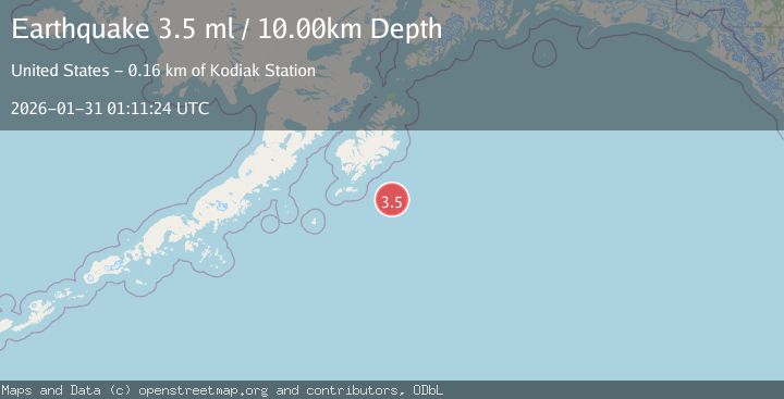
Earthquake 42 km N of Karluk, Alaska
Sat, 31 Jan 2026 01:11:50 GMT
Time8 hours ago
Location
57.9480, -154.3620
Depth
72.6 KM
Event Summary
A 2.1 magnitude earthquake struck on 42 km N of Karluk, Alaska, at Sat, 31 Jan 2026 01:11:50 GMT. Depth: 72.6km. Reviewed by USGS seismologists, this minor quake occurred at a magnitude type of ml.
Magnitude
2.1
ml
Source
USGS
Intensity
-
Agency Reports
1 Sources| Source | Magnitude | Depth | Time |
|---|---|---|---|
| USGSPrimary | 2.1 | 73 km | 8 hours ago |
Earthquake Details
AutomaticEvent IDusgs_ak2026cdeeed
Tsunami PotentialNo
Magnitude Typeml
Nearest Places
- Shelikhov Strait8.3 km
- Takli Island14.7 km
- Amalik Bay Archeological District14.8 km
- Cape Atushagvik15.1 km
- Cape Ilktugitak15.3 km
Comments
Join the discussion about this event.
Latest Earthquakes
2.2Mag
SAN FRANCISCO BAY AREA, CALIF.
Time8 hours ago
Depth8.70 km
SourceNC (Automatic)
1.4Mag
CROATIA
Time8 hours ago
Depth0.00 km
SourceARSO (Automatic)
4.5Mag
Banda Sea
Time8 hours ago
Depth155.82 km
SourceBMKG (Automatic)
1.5Mag
53 km NE of Lake Minchumina, Alaska
Time9 hours ago
Depth1.90 km
SourceUSGS (Automatic)
3.1Mag
Minahassa Peninsula, Sulawesi
Time9 hours ago
Depth5.00 km
SourceBMKG (Automatic)
Nearby Earthquakes
1.7Mag
22 km N of Karluk, Alaska
Time1 week ago
Depth51.40 km
SourceUSGS (Automatic)
2.3Mag
60 km NNE of Karluk, Alaska
Time15 hours ago
Depth75.30 km
SourceUSGS (Automatic)
1.5Mag
61 km N of Karluk, Alaska
Time4 days ago
Depth83.80 km
SourceUSGS (Automatic)
2.1Mag
19 km N of Karluk, Alaska
Time1 day ago
Depth56.00 km
SourceUSGS (Automatic)
1.3Mag
60 km NNW of Karluk, Alaska
Time4 days ago
Depth5.00 km
SourceUSGS (Automatic)