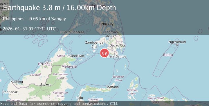
Earthquake MORO GULF, MINDANAO, PHILIPPINES
Sat, 31 Jan 2026 01:17:32 GMT
Time8 hours ago
Location
6.2600, 123.6400
Depth
16.0 KM
Event Summary
A 3.0 magnitude earthquake struck on MORO GULF, MINDANAO, PHILIPPINES, at Sat, 31 Jan 2026 01:17:32 GMT. Depth: 16km. Reviewed by PIVS seismologists, this minor quake occurred at a magnitude type of m.
Magnitude
3.0
m
Source
PIVS
Intensity
-
Agency Reports
1 Sources| Source | Magnitude | Depth | Time |
|---|---|---|---|
| PIVSPrimary | 3.0 | 16 km | 8 hours ago |
Earthquake Details
AutomaticEvent IDemsc_PIVS_20260131_0000019
Tsunami PotentialNo
Magnitude Typem
Nearest Places
- Sangay Point47.5 km
- Donauang Island47.7 km
- Kiponget47.9 km
- Tuna Point47.9 km
- Heart Break Beach48.0 km
Comments
Join the discussion about this event.
Latest Earthquakes
3.4Mag
EASTERN HONSHU, JAPAN
Time8 hours ago
Depth60.00 km
SourceJMA (Automatic)
0.6Mag
85 km NNW of Karluk, Alaska
Time8 hours ago
Depth5.00 km
SourceUSGS (Automatic)
3.5Mag
103 km SSE of Old Harbor, Alaska
Time8 hours ago
Depth11.10 km
SourceUSGS (Automatic)
3.5Mag
KODIAK ISLAND REGION, ALASKA
Time8 hours ago
Depth11.10 km
SourceAK (Automatic)
3.2Mag
NEAR COAST OF NICARAGUA
Time8 hours ago
Depth47.00 km
SourceINET (Automatic)
Nearby Earthquakes
4.4Mag
Mindanao, Philippines
Time2 days ago
Depth10.00 km
SourceBMKG (Automatic)
3.4Mag
MORO GULF, MINDANAO, PHILIPPINES
Time3 days ago
Depth6.00 km
SourcePIVS (Automatic)
5.3Mag
MORO GULF, MINDANAO, PHILIPPINES
Time3 days ago
Depth25.00 km
SourcePIVS (Automatic)
4.3Mag
Mindanao, Philippines
Time4 days ago
Depth116.84 km
SourceBMKG (Automatic)
3.0Mag
MORO GULF, MINDANAO, PHILIPPINES
Time1 week ago
Depth24.00 km
SourcePIVS (Automatic)