Earthquake NEAR COAST OF SOUTHERN PERU
Sun, 04 Jan 2026 14:25:59 GMT
Time1 month ago
Location
-15.7600, -74.5500
Depth
50.0 KM
Event Summary
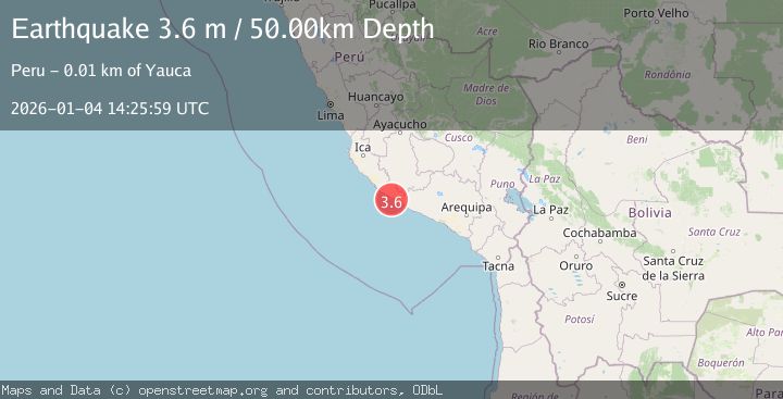
A 3.6 magnitude earthquake struck on NEAR COAST OF SOUTHERN PERU, at Sun, 04 Jan 2026 14:25:59 GMT. Depth: 50km. Reviewed by LIM seismologists, this minor quake occurred at a magnitude type of m.
Magnitude
3.6
m
Source
LIM
Intensity
-
Agency Reports
1 Sources| Source | Magnitude | Depth | Time |
|---|---|---|---|
| LIMPrimary | 3.6 | 50 km | 1 month ago |
Earthquake Details
AutomaticEvent IDemsc_LIM_20260104_0000207
Tsunami PotentialNo
Magnitude Typem
Nearest Places
- Río Yauca7.0 km
- Playa de Tanaca7.2 km
- Playa de Tanaca7.4 km
- Los Médanos9.2 km
- Punta Blanca9.5 km
Comments
Join the discussion about this event.
Latest Earthquakes
0.7Mag
8 km NW of The Geysers, CA
Time7 minutes ago
Depth1.59 km
SourceUSGS (Automatic)
1.2Mag
Southern Alaska
Time8 minutes ago
Depth16.72 km
SourceVYT (Automatic)
1.6Mag
49 km W of Mentone, Texas
Time8 minutes ago
Depth4.59 km
SourceUSGS (Automatic)
3.1Mag
northern Colombia
Time10 minutes ago
Depth219.97 km
SourceVYT (Automatic)
2.2Mag
Sumbawa Region, Indonesia
Time12 minutes ago
Depth15.54 km
SourceBMKG
Nearby Earthquakes
4.0Mag
NEAR COAST OF SOUTHERN PERU
Time5 years ago
Depth68.00 km
SourceNEIC (Automatic)
4.0Mag
NEAR COAST OF SOUTHERN PERU
Time9 months ago
Depth63.00 km
SourceLIM (Automatic)
4.0Mag
NEAR COAST OF SOUTHERN PERU
Time1 year ago
Depth30.00 km
SourceLIM (Automatic)
4.0Mag
NEAR COAST OF SOUTHERN PERU
Time3 years ago
Depth60.00 km
SourceLIM (Automatic)
4.0Mag
NEAR COAST OF SOUTHERN PERU
Time1 year ago
Depth28.00 km
SourceLIM (Automatic)