Earthquake SAN FRANCISCO BAY AREA, CALIF.
Wed, 14 Jan 2026 21:01:38 GMT
Time1 month ago
Location
37.8358, -121.8820
Depth
4.2 KM
Event Summary
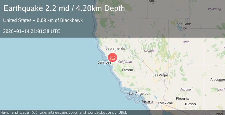
A 2.2 magnitude earthquake struck on SAN FRANCISCO BAY AREA, CALIF., at Wed, 14 Jan 2026 21:01:38 GMT. Depth: 4.2km. Reviewed by NC seismologists, this minor quake occurred at a magnitude type of md.
Magnitude
2.2
md
Source
NC
Intensity
-
Agency Reports
1 Sources| Source | Magnitude | Depth | Time |
|---|---|---|---|
| NCPrimary | 2.2 | 4 km | 1 month ago |
Earthquake Details
AutomaticEvent IDemsc_NC_20260114_0000287
Tsunami PotentialNo
Magnitude Typemd
Nearest Places
- Cave Point0.6 km
- Oyster Point0.7 km
- Black Hills0.8 km
- Black Hawk Ridge1.9 km
- Windy Point2.0 km
Comments
Join the discussion about this event.
Latest Earthquakes
2.5Mag
near the coast of Tarapaca, Chile
Time3 hours ago
Depth138.55 km
SourceVYT (Automatic)
2.5Mag
Seram, Indonesia
Time3 hours ago
Depth31.25 km
SourceVYT (Automatic)
3.9Mag
Offshore Crete, Greece
Time3 hours ago
Depth76.42 km
SourceVYT (Automatic)
1.8Mag
Southeastern Alaska
Time3 hours ago
Depth0.49 km
SourceVYT (Automatic)
1.8Mag
British Columbia, Canada
Time3 hours ago
Depth0.00 km
SourceVYT (Automatic)
Nearby Earthquakes
2.6Mag
SAN FRANCISCO BAY AREA, CALIF.
Time2 weeks ago
Depth11.40 km
SourceNEIC (Automatic)
2.4Mag
SAN FRANCISCO BAY AREA, CALIF.
Time1 month ago
Depth9.20 km
SourceNEIC (Automatic)
2.9Mag
SAN FRANCISCO BAY AREA, CALIF.
Time1 month ago
Depth5.00 km
SourceNEIC (Automatic)
1.2Mag
3 km E of San Ramon, CA
Time1 week ago
Depth5.35 km
SourceUSGS (Automatic)
1.7Mag
10 km SW of Brentwood, CA
Time1 week ago
Depth10.49 km
SourceUSGS (Automatic)