Earthquake 3 km E of San Ramon, CA
Tue, 10 Feb 2026 01:24:13 GMT
Time1 week ago
Location
37.7810, -121.9445
Depth
5.3 KM
Event Summary
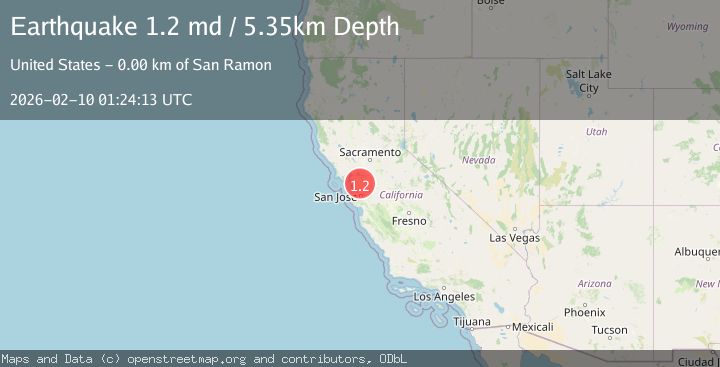
A 1.2 magnitude earthquake struck on 3 km E of San Ramon, CA, at Tue, 10 Feb 2026 01:24:13 GMT. Depth: 5.34999990463257km. Reviewed by USGS seismologists, this minor quake occurred at a magnitude type of md.
Magnitude
1.2
md
Source
USGS
Intensity
-
Agency Reports
1 Sources| Source | Magnitude | Depth | Time |
|---|---|---|---|
| USGSPrimary | 1.2 | 5 km | 1 week ago |
Earthquake Details
AutomaticEvent IDusgs_nc75311552
Tsunami PotentialNo
Magnitude Typemd
Nearest Places
Comments
Join the discussion about this event.
Latest Earthquakes
3.2Mag
AEGEAN SEA
Time18 hours ago
Depth5.00 km
SourceNOA (Automatic)
1.5Mag
7 km NW of The Geysers, CA
Time18 hours ago
Depth2.48 km
SourceUSGS (Automatic)
2.3Mag
WESTERN TURKEY
Time18 hours ago
Depth8.70 km
SourceKOERI (Automatic)
0.6Mag
6 km WNW of Cobb, CA
Time18 hours ago
Depth1.68 km
SourceUSGS (Automatic)
2.1Mag
Southern Alaska
Time18 hours ago
Depth27.59 km
SourceVYT (Automatic)
Nearby Earthquakes
1.6Mag
3 km E of San Ramon, CA
Time1 week ago
Depth4.85 km
SourceUSGS (Automatic)
2.0Mag
SAN FRANCISCO BAY AREA, CALIF.
Time2 weeks ago
Depth6.60 km
SourceNC (Automatic)
1.3Mag
3 km E of San Ramon, CA
Time1 week ago
Depth6.08 km
SourceUSGS (Automatic)
1.7Mag
3 km E of San Ramon, CA
Time2 weeks ago
Depth7.52 km
SourceUSGS (Automatic)
2.1Mag
SAN FRANCISCO BAY AREA, CALIF.
Time1 month ago
Depth6.40 km
SourceNC (Automatic)