Earthquake MYANMAR-INDIA BORDER REGION
Sat, 31 Jan 2026 13:44:32 GMT
Time2 weeks ago
Location
24.5300, 94.1000
Depth
61.0 KM
Event Summary
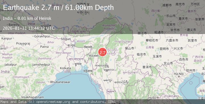
A 2.7 magnitude earthquake struck on MYANMAR-INDIA BORDER REGION, at Sat, 31 Jan 2026 13:44:32 GMT. Depth: 61km. Reviewed by NDI seismologists, this minor quake occurred at a magnitude type of m.
Magnitude
2.7
m
Source
NDI
Intensity
-
Agency Reports
1 Sources| Source | Magnitude | Depth | Time |
|---|---|---|---|
| NDIPrimary | 2.7 | 61 km | 2 weeks ago |
Earthquake Details
AutomaticEvent IDemsc_NDI_20260131_0000223
Tsunami PotentialNo
Magnitude Typem
Nearest Places
- 5.0 km
- 5.0 km
- 6.7 km
- 7.5 km
- 11.6 km
Comments
Join the discussion about this event.
Latest Earthquakes
1.6Mag
11 km NE of San Simeon, CA
Time11 minutes ago
Depth9.12 km
SourceUSGS (Automatic)
3.0Mag
OFFSHORE LOS LAGOS, CHILE
Time11 minutes ago
Depth29.00 km
SourceCSN (Automatic)
2.0Mag
Poland
Time19 minutes ago
Depth5.62 km
SourceVYT (Automatic)
1.4Mag
3 km WSW of Mira Loma, CA
Time19 minutes ago
Depth7.18 km
SourceUSGS (Automatic)
2.2Mag
WESTERN TURKEY
Time21 minutes ago
Depth24.40 km
SourceAFAD (Automatic)
Nearby Earthquakes
3.0Mag
MYANMAR-INDIA BORDER REGION
Time1 month ago
Depth45.00 km
SourceNDI (Automatic)
3.4Mag
MANIPUR, INDIA REGION
Time1 month ago
Depth40.00 km
SourceNDI (Automatic)
3.0Mag
MYANMAR-INDIA BORDER REGION
Time9 months ago
Depth20.00 km
SourceNDI (Automatic)
5.2Mag
MANIPUR, INDIA REGION
Time8 months ago
Depth55.30 km
SourceEMSC (Automatic)
3.0Mag
MYANMAR-INDIA BORDER REGION
Time4 years ago
Depth10.00 km
SourceNDI (Automatic)