Earthquake KERMADEC ISLANDS REGION
Wed, 17 May 2006 09:22:03 GMT
Time19 years ago
Location
-31.8500, -178.6000
Depth
33.0 KM
Event Summary
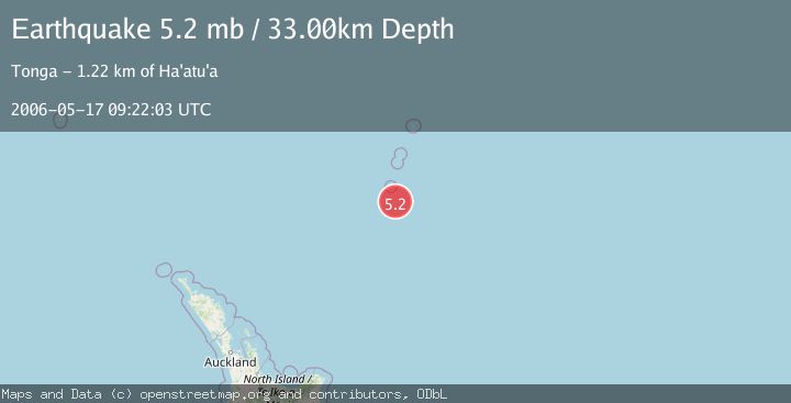
A 5.2 magnitude earthquake struck on KERMADEC ISLANDS REGION, at Wed, 17 May 2006 09:22:03 GMT. Depth: 33km. Reviewed by EMSC seismologists, this moderate quake occurred at a magnitude type of mb.
Magnitude
5.2
mb
Source
EMSC
Intensity
-
Agency Reports
1 Sources| Source | Magnitude | Depth | Time |
|---|---|---|---|
| EMSCPrimary | 5.2 | 33 km | 19 years ago |
Earthquake Details
AutomaticEvent IDemsc_EMSC_20060517_0000037
Tsunami PotentialNo
Magnitude Typemb
Nearest Places
- L'Esperance Rock54.3 km
- Havre Rock67.3 km
- Star of Bengal Bank78.7 km
- Havre Trough93.6 km
- Havre Seamount93.8 km
Comments
Join the discussion about this event.
Latest Earthquakes
3.1Mag
Banda Sea
Time3 minutes ago
Depth139.57 km
SourceBMKG
1.1Mag
10 km W of Toms Place, CA
Time5 minutes ago
Depth6.75 km
SourceUSGS (Automatic)
2.4Mag
Minahassa Peninsula, Sulawesi
Time9 minutes ago
Depth0.00 km
SourceBMKG
2.7Mag
Southern Sumatra, Indonesia
Time10 minutes ago
Depth84.28 km
SourceBMKG
2.3Mag
Halmahera, Indonesia
Time12 minutes ago
Depth8.61 km
SourceBMKG
Nearby Earthquakes
5.0Mag
KERMADEC ISLANDS REGION
Time2 years ago
Depth2.00 km
SourceEMSC (Automatic)
5.1Mag
KERMADEC ISLANDS REGION
Time8 years ago
Depth30.00 km
SourceEMSC (Automatic)
5.1Mag
KERMADEC ISLANDS REGION
Time9 years ago
Depth10.00 km
SourceEMSC (Automatic)
5.2Mag
KERMADEC ISLANDS REGION
Time6 years ago
Depth16.00 km
SourceEMSC (Automatic)
5.0Mag
KERMADEC ISLANDS REGION
Time6 years ago
Depth45.00 km
SourceEMSC (Automatic)