Earthquake SOUTH OF KERMADEC ISLANDS
Wed, 23 Mar 2011 23:01:17 GMT
Time14 years ago
Location
-32.4100, -179.5600
Depth
32.0 KM
Event Summary
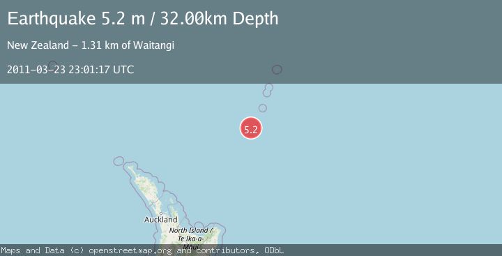
A 5.2 magnitude earthquake struck on SOUTH OF KERMADEC ISLANDS, at Wed, 23 Mar 2011 23:01:17 GMT. Depth: 32km. Reviewed by NEIC seismologists, this moderate quake occurred at a magnitude type of m.
Magnitude
5.2
m
Source
NEIC
Intensity
-
Agency Reports
1 Sources| Source | Magnitude | Depth | Time |
|---|---|---|---|
| NEICPrimary | 5.2 | 32 km | 14 years ago |
Earthquake Details
AutomaticEvent IDemsc_NEIC_20110323_0000074
Tsunami PotentialNo
Magnitude Typem
Nearest Places
- Speight Knoll3.7 km
- Oliver Knoll10.7 km
- Haungaroa Seamount24.4 km
- Star of Bengal Bank43.2 km
- Kuiwai Seamount90.4 km
Comments
Join the discussion about this event.
Latest Earthquakes
1.2Mag
EASTERN TURKEY
Time17 minutes ago
Depth7.00 km
SourceAFAD (Automatic)
1.7Mag
western Texas
Time18 minutes ago
Depth0.00 km
SourceVYT (Automatic)
2.2Mag
AEGEAN SEA
Time18 minutes ago
Depth16.50 km
SourceKOERI (Automatic)
1.8Mag
western Texas
Time26 minutes ago
Depth0.00 km
SourceVYT (Automatic)
2.9Mag
SVALBARD REGION
Time26 minutes ago
Depth10.00 km
SourceBER (Automatic)
Nearby Earthquakes
5.2Mag
SOUTH OF KERMADEC ISLANDS
Time4 years ago
Depth235.00 km
SourceEMSC (Automatic)
5.3Mag
SOUTH OF KERMADEC ISLANDS
Time15 years ago
Depth26.00 km
SourceEMSC (Automatic)
5.5Mag
SOUTH OF KERMADEC ISLANDS
Time6 years ago
Depth10.00 km
SourceEMSC (Automatic)
5.4Mag
SOUTH OF KERMADEC ISLANDS
Time16 years ago
Depth15.00 km
SourceEMSC (Automatic)
5.4Mag
SOUTH OF KERMADEC ISLANDS
Time15 years ago
Depth48.00 km
SourceEMSC (Automatic)