Earthquake SOUTH OF KERMADEC ISLANDS
Tue, 14 Dec 2010 01:16:21 GMT
Time15 years ago
Location
-32.4100, -179.4700
Depth
26.0 KM
Event Summary
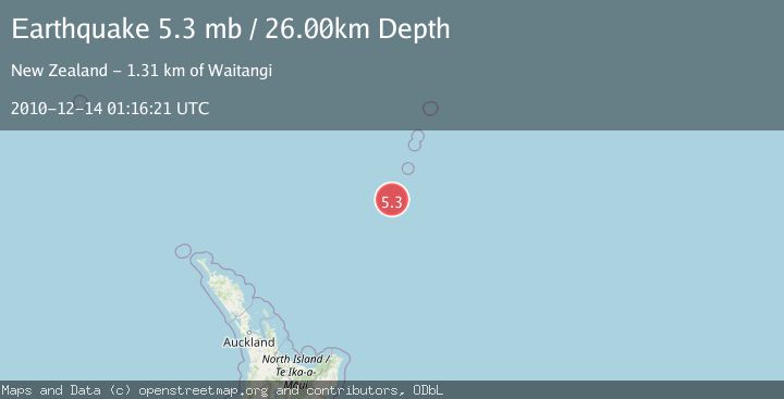
A 5.3 magnitude earthquake struck on SOUTH OF KERMADEC ISLANDS, at Tue, 14 Dec 2010 01:16:21 GMT. Depth: 26km. Reviewed by EMSC seismologists, this moderate quake occurred at a magnitude type of mb.
Magnitude
5.3
mb
Source
EMSC
Intensity
-
Agency Reports
1 Sources| Source | Magnitude | Depth | Time |
|---|---|---|---|
| EMSCPrimary | 5.3 | 26 km | 15 years ago |
Earthquake Details
AutomaticEvent IDemsc_EMSC_20101214_0000002
Tsunami PotentialNo
Magnitude Typemb
Nearest Places
- Speight Knoll11.5 km
- Oliver Knoll19.1 km
- Haungaroa Seamount28.0 km
- Star of Bengal Bank34.7 km
- Kuiwai Seamount93.9 km
Comments
Join the discussion about this event.
Latest Earthquakes
4.2Mag
Kepulauan Talaud, Indonesia
Time6 minutes ago
Depth85.57 km
SourceVYT (Automatic)
2.0Mag
Antofagasta, Chile
Time8 minutes ago
Depth127.32 km
SourceVYT (Automatic)
2.0Mag
Southern California
Time17 minutes ago
Depth14.40 km
SourceVYT (Automatic)
3.0Mag
Potosi, Bolivia
Time19 minutes ago
Depth188.11 km
SourceVYT (Automatic)
1.3Mag
9 km WNW of The Geysers, CA
Time20 minutes ago
Depth2.36 km
SourceUSGS (Automatic)
Nearby Earthquakes
5.5Mag
SOUTH OF KERMADEC ISLANDS
Time6 years ago
Depth10.00 km
SourceEMSC (Automatic)
5.2Mag
SOUTH OF KERMADEC ISLANDS
Time14 years ago
Depth32.00 km
SourceNEIC (Automatic)
5.4Mag
SOUTH OF KERMADEC ISLANDS
Time15 years ago
Depth48.00 km
SourceEMSC (Automatic)
5.4Mag
SOUTH OF KERMADEC ISLANDS
Time16 years ago
Depth15.00 km
SourceEMSC (Automatic)
5.2Mag
SOUTH OF KERMADEC ISLANDS
Time4 years ago
Depth235.00 km
SourceEMSC (Automatic)