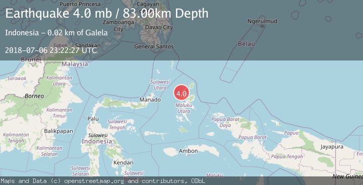
Earthquake HALMAHERA, INDONESIA
Fri, 06 Jul 2018 23:22:27 GMT
Time7 years ago
Location
1.7400, 127.6100
Depth
83.0 KM
Event Summary
A 4.0 magnitude earthquake struck on HALMAHERA, INDONESIA, at Fri, 06 Jul 2018 23:22:27 GMT. Depth: 83km. Reviewed by NEIC seismologists, this light quake occurred at a magnitude type of mb.
Magnitude
4.0
mb
Source
NEIC
Intensity
-
Agency Reports
1 Sources| Source | Magnitude | Depth | Time |
|---|---|---|---|
| NEICPrimary | 4.0 | 83 km | 7 years ago |
Earthquake Details
AutomaticEvent IDemsc_NEIC_20180706_0000422
Tsunami PotentialNo
Magnitude Typemb
Nearest Places
- Pegunungan Rukum0.9 km
- Desa Salu1.5 km
- Desa Buo2.4 km
- Kasamaakere3.6 km
- Kecamatan Loloda3.8 km
Comments
Join the discussion about this event.
Latest Earthquakes
3.6Mag
Fox Islands, Aleutian Islands, Alaska
Time2 minutes ago
Depth28.81 km
SourceVYT (Automatic)
1.3Mag
Washington
Time3 minutes ago
Depth0.00 km
SourceVYT (Automatic)
2.0Mag
Antofagasta, Chile
Time4 minutes ago
Depth28.32 km
SourceVYT (Automatic)
1.2Mag
Central Alaska
Time5 minutes ago
Depth0.00 km
SourceVYT (Automatic)
2.1Mag
Sulawesi, Indonesia
Time6 minutes ago
Depth7.10 km
SourceBMKG
Nearby Earthquakes
5.4Mag
HALMAHERA, INDONESIA
Time11 years ago
Depth144.00 km
SourceEMSC (Automatic)
2.7Mag
HALMAHERA, INDONESIA
Time1 month ago
Depth102.00 km
SourceBMKG (Automatic)
5.4Mag
HALMAHERA, INDONESIA
Time14 years ago
Depth143.00 km
SourceEMSC (Automatic)
3.0Mag
HALMAHERA, INDONESIA
Time4 years ago
Depth16.00 km
SourceDJA (Automatic)
5.3Mag
HALMAHERA, INDONESIA
Time14 years ago
Depth112.00 km
SourceEMSC (Automatic)