Earthquake UNIMAK ISLAND REGION, ALASKA
Mon, 16 Jul 2018 11:33:35 GMT
Time7 years ago
Location
54.8400, -163.3800
Depth
6.0 KM
Event Summary
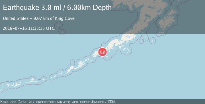
A 3.0 magnitude earthquake struck on UNIMAK ISLAND REGION, ALASKA, at Mon, 16 Jul 2018 11:33:35 GMT. Depth: 6km. Reviewed by NEIC seismologists, this minor quake occurred at a magnitude type of ml.
Magnitude
3.0
ml
Source
NEIC
Intensity
-
Agency Reports
1 Sources| Source | Magnitude | Depth | Time |
|---|---|---|---|
| NEICPrimary | 3.0 | 6 km | 7 years ago |
Earthquake Details
AutomaticEvent IDemsc_NEIC_20180716_0000542
Tsunami PotentialNo
Magnitude Typeml
Nearest Places
- Isanotski Strait1.0 km
- Stonewall Point1.0 km
- Stonewall1.1 km
- Whirl Point1.7 km
- Nichols Point2.0 km
Comments
Join the discussion about this event.
Latest Earthquakes
1.7Mag
Kenai Peninsula, Alaska
Time16 hours ago
Depth12.33 km
SourceVYT (Automatic)
3.3Mag
Channel Islands region, California
Time16 hours ago
Depth10.00 km
SourceVYT (Automatic)
3.0Mag
Ceram Sea
Time16 hours ago
Depth13.47 km
SourceBMKG
3.0Mag
offshore Coquimbo, Chile
Time16 hours ago
Depth75.56 km
SourceVYT (Automatic)
1.6Mag
Central Alaska
Time16 hours ago
Depth3.17 km
SourceVYT (Automatic)
Nearby Earthquakes
4.0Mag
UNIMAK ISLAND REGION, ALASKA
Time7 years ago
Depth1.00 km
SourceNEIR (Automatic)
3.0Mag
UNIMAK ISLAND REGION, ALASKA
Time7 years ago
Depth112.00 km
SourceNEIC (Automatic)
2.6Mag
UNIMAK ISLAND REGION, ALASKA
Time3 weeks ago
Depth168.30 km
SourceNEIC (Automatic)
3.0Mag
UNIMAK ISLAND REGION, ALASKA
Time7 months ago
Depth6.80 km
SourceAK (Automatic)
2.6Mag
22 km S of False Pass, Alaska
Time1 month ago
Depth6.70 km
SourceUSGS