Earthquake Kenai Peninsula, Alaska
Thu, 19 Feb 2026 04:16:44 GMT
Time1 hour ago
Location
60.1231, -148.0296
Depth
12.3 KM
Event Summary
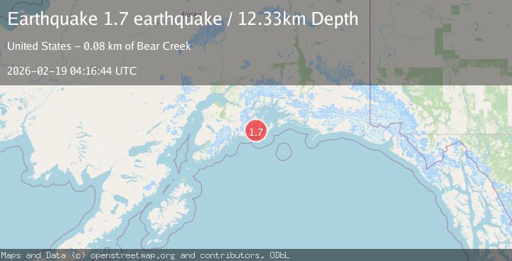
A 1.7 magnitude earthquake struck on Kenai Peninsula, Alaska, at Thu, 19 Feb 2026 04:16:44 GMT. Depth: 12.3291015625km. Reviewed by VYT seismologists, this minor quake occurred at a magnitude type of earthquake.
Magnitude
1.7
earthquake
Source
VYT
Intensity
-
Agency Reports
1 Sources| Source | Magnitude | Depth | Time |
|---|---|---|---|
| VYTPrimary | 1.7 | 12 km | 1 hour ago |
Earthquake Details
AutomaticEvent IDvyt_1n7ow7idgv56o
Tsunami PotentialNo
Magnitude Typeearthquake
Nearest Places
- Iktua Rocks0.5 km
- Iktua Bay2.1 km
- Guguak Bay2.6 km
- Panhat Point3.5 km
- Shelter Bay4.4 km
Comments
Join the discussion about this event.
Latest Earthquakes
3.3Mag
Channel Islands region, California
Time1 hour ago
Depth10.00 km
SourceVYT (Automatic)
3.0Mag
Ceram Sea
Time1 hour ago
Depth13.47 km
SourceBMKG
3.0Mag
offshore Coquimbo, Chile
Time1 hour ago
Depth75.56 km
SourceVYT (Automatic)
1.6Mag
Central Alaska
Time1 hour ago
Depth3.17 km
SourceVYT (Automatic)
1.7Mag
17 km WSW of Johannesburg, CA
Time1 hour ago
Depth8.41 km
SourceUSGS (Automatic)
Nearby Earthquakes
2.1Mag
Southern Alaska
Time5 days ago
Depth5.98 km
SourceVYT (Automatic)
2.5Mag
SOUTHERN ALASKA
Time1 month ago
Depth20.90 km
SourceNEIC (Automatic)
2.5Mag
SOUTHERN ALASKA
Time1 month ago
Depth25.00 km
SourceNEIC (Automatic)
1.5Mag
27 km NNE of Chenega, Alaska
Time3 weeks ago
Depth18.70 km
SourceUSGS (Automatic)
3.0Mag
KENAI PENINSULA, ALASKA
Time8 years ago
Depth8.00 km
SourceNEIR (Automatic)