Earthquake SOUTHERN ALASKA
Sun, 16 Dec 2018 01:45:38 GMT
Time7 years ago
Location
61.4100, -150.1100
Depth
20.0 KM
Event Summary
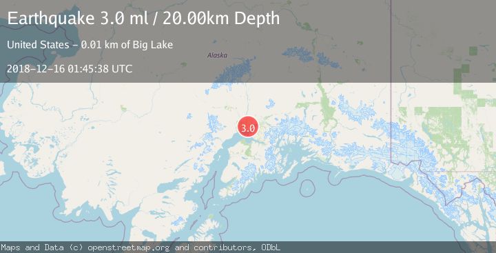
A 3.0 magnitude earthquake struck on SOUTHERN ALASKA, at Sun, 16 Dec 2018 01:45:38 GMT. Depth: 20km. Reviewed by NEIC seismologists, this minor quake occurred at a magnitude type of ml.
Magnitude
3.0
ml
Source
NEIC
Intensity
-
Agency Reports
1 Sources| Source | Magnitude | Depth | Time |
|---|---|---|---|
| NEICPrimary | 3.0 | 20 km | 7 years ago |
Earthquake Details
AutomaticEvent IDemsc_NEIC_20181216_0000004
Tsunami PotentialNo
Magnitude Typeml
Nearest Places
- Point MacKenzie Correctional Farm1.8 km
- Point Mac Airport2.8 km
- Butterfly Lake3.5 km
- Robin's Landing Airport3.6 km
- Farmer Lake3.9 km
Comments
Join the discussion about this event.
Latest Earthquakes
2.4Mag
Finland
Time2 minutes ago
Depth301.88 km
SourceVYT (Automatic)
1.2Mag
Alaska Peninsula
Time2 minutes ago
Depth0.12 km
SourceVYT (Automatic)
3.1Mag
DODECANESE IS.-TURKEY BORDER REG
Time8 minutes ago
Depth4.10 km
SourceKOERI (Automatic)
2.6Mag
NEAR COAST OF NICARAGUA
Time13 minutes ago
Depth38.00 km
SourceINET (Automatic)
1.4Mag
Central Alaska
Time16 minutes ago
Depth110.35 km
SourceVYT (Automatic)
Nearby Earthquakes
2.4Mag
7 km NW of Point MacKenzie, Alaska
Time3 weeks ago
Depth32.70 km
SourceUSGS (Automatic)
3.0Mag
SOUTHERN ALASKA
Time7 years ago
Depth20.00 km
SourceNEIC (Automatic)
3.0Mag
SOUTHERN ALASKA
Time7 years ago
Depth36.00 km
SourceNEIR (Automatic)
3.0Mag
SOUTHERN ALASKA
Time7 years ago
Depth48.00 km
SourceNEIC (Automatic)
3.0Mag
SOUTHERN ALASKA
Time7 years ago
Depth46.00 km
SourceNEIR (Automatic)