Earthquake MYANMAR-INDIA BORDER REGION
Sat, 16 Mar 2019 19:23:40 GMT
Time6 years ago
Location
24.0600, 94.6800
Depth
96.0 KM
Event Summary
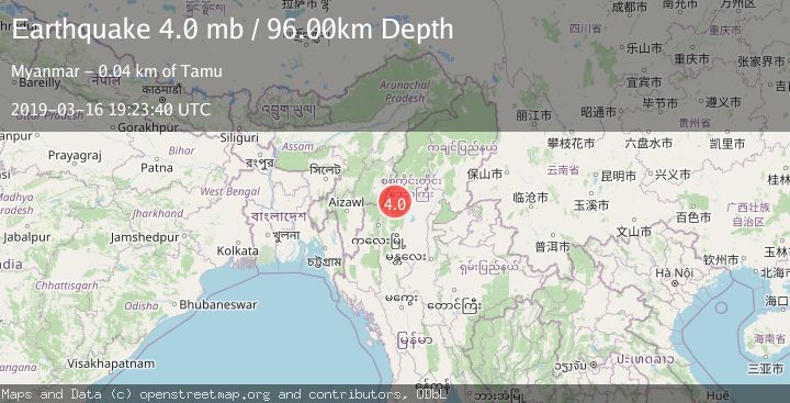
A 4.0 magnitude earthquake struck on MYANMAR-INDIA BORDER REGION, at Sat, 16 Mar 2019 19:23:40 GMT. Depth: 96km. Reviewed by NEIC seismologists, this light quake occurred at a magnitude type of mb.
Magnitude
4.0
mb
Source
NEIC
Intensity
-
Agency Reports
1 Sources| Source | Magnitude | Depth | Time |
|---|---|---|---|
| NEICPrimary | 4.0 | 96 km | 6 years ago |
Earthquake Details
AutomaticEvent IDemsc_NEIC_20190316_0000169
Tsunami PotentialNo
Magnitude Typemb
Nearest Places
- 7.5 km
- 7.6 km
- 7.7 km
- 8.0 km
- 8.1 km
Comments
Join the discussion about this event.
Latest Earthquakes
2.6Mag
Northern Sumatra, Indonesia
Time4 minutes ago
Depth5.00 km
SourceBMKG
2.6Mag
Java, Indonesia
Time8 minutes ago
Depth4.92 km
SourceBMKG
0.4Mag
1 km NW of The Geysers, CA
Time10 minutes ago
Depth3.94 km
SourceUSGS (Automatic)
4.2Mag
West Papua, Indonesia
Time12 minutes ago
Depth117.65 km
SourceBMKG
3.8Mag
Papua, Indonesia
Time12 minutes ago
Depth33.81 km
SourceVYT (Automatic)
Nearby Earthquakes
5.0Mag
MYANMAR
Time9 years ago
Depth112.00 km
SourceEMSC (Automatic)
3.5Mag
MYANMAR-INDIA BORDER REGION
Time1 month ago
Depth108.00 km
SourceNDI (Automatic)
5.1Mag
MYANMAR-INDIA BORDER REGION
Time11 years ago
Depth100.00 km
SourceEMSC (Automatic)
5.9Mag
MYANMAR-INDIA BORDER REGION
Time16 years ago
Depth100.00 km
SourceEMSC (Automatic)
5.5Mag
MYANMAR-INDIA BORDER REGION
Time16 years ago
Depth92.00 km
SourceEMSC (Automatic)