Earthquake Northern Sumatra, Indonesia
Sat, 21 Feb 2026 02:32:09 GMT
Time1 hour ago
Location
4.1844, 97.4295
Depth
0.9 KM
Event Summary
A 2.4 magnitude earthquake struck on Northern Sumatra, Indonesia, at Sat, 21 Feb 2026 02:32:09 GMT. Depth: 0.86716km. Reviewed by BMKG seismologists, this minor quake occurred at a magnitude type of M.
Magnitude
2.4
M
Source
BMKG
Intensity
-
Agency Reports
1 Sources| Source | Magnitude | Depth | Time |
|---|---|---|---|
| BMKGPrimary | 2.4 | 1 km | 1 hour ago |
Earthquake Details
ManualEvent IDbmg2026dpjr
Tsunami PotentialNo
Magnitude TypeM
Nearest Places
- 0.8 km
- 2.7 km
- 3.4 km
- 3.7 km
- 3.9 km
Comments
Join the discussion about this event.
Latest Earthquakes
2.6Mag
Java, Indonesia
Time1 hour ago
Depth4.92 km
SourceBMKG
0.4Mag
1 km NW of The Geysers, CA
Time1 hour ago
Depth3.94 km
SourceUSGS (Automatic)
4.2Mag
West Papua, Indonesia
Time1 hour ago
Depth117.65 km
SourceBMKG
3.8Mag
Papua, Indonesia
Time1 hour ago
Depth33.81 km
SourceVYT (Automatic)
3.4Mag
South of Java, Indonesia
Time1 hour ago
Depth10.00 km
SourceBMKG
Nearby Earthquakes
2.7Mag
Northern Sumatra, Indonesia
Time3 weeks ago
Depth0.60 km
SourceBMKG (Automatic)
2.2Mag
Northern Sumatra, Indonesia
Time2 weeks ago
Depth5.00 km
SourceBMKG (Automatic)
2.2Mag
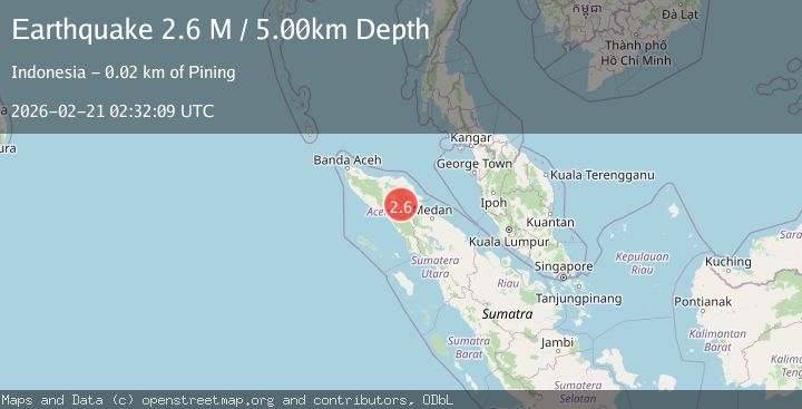
Northern Sumatra, Indonesia
Time4 days ago
Depth5.00 km
SourceBMKG
2.4Mag
Northern Sumatra, Indonesia
Time2 weeks ago
Depth5.00 km
SourceBMKG (Automatic)
2.1Mag
Northern Sumatra, Indonesia
Time2 weeks ago
Depth2.00 km
SourceBMKG (Automatic)