Earthquake SOUTHERN ALASKA
Wed, 17 Jun 2020 01:13:27 GMT
Time5 years ago
Location
61.2500, -146.3400
Depth
5.0 KM
Event Summary
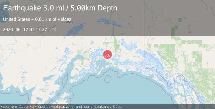
A 3.0 magnitude earthquake struck on SOUTHERN ALASKA, at Wed, 17 Jun 2020 01:13:27 GMT. Depth: 5km. Reviewed by NEIC seismologists, this minor quake occurred at a magnitude type of ml.
Magnitude
3.0
ml
Source
NEIC
Intensity
-
Agency Reports
1 Sources| Source | Magnitude | Depth | Time |
|---|---|---|---|
| NEICPrimary | 3.0 | 5 km | 5 years ago |
Earthquake Details
AutomaticEvent IDemsc_NEIC_20200617_0000006
Tsunami PotentialNo
Magnitude Typeml
Nearest Places
- Johnson Mill2.6 km
- Big Four Mine2.6 km
- Johnson Glacier2.7 km
- Johnson Mine2.7 km
- Mineral Creek Glacier3.2 km
Comments
Join the discussion about this event.
Latest Earthquakes
3.5Mag
near the coast of Antofagasta, Chile
Time12 hours ago
Depth0.00 km
SourceVYT (Automatic)
1.7Mag
Southern California
Time12 hours ago
Depth0.00 km
SourceVYT (Automatic)
3.1Mag
northern Norway
Time12 hours ago
Depth707.40 km
SourceVYT (Automatic)
2.2Mag
DODECANESE IS.-TURKEY BORDER REG
Time12 hours ago
Depth46.60 km
SourceKOERI (Automatic)
2.4Mag
Albania
Time12 hours ago
Depth14.77 km
SourceVYT (Automatic)
Nearby Earthquakes
2.6Mag
22 km N of Valdez, Alaska
Time3 weeks ago
Depth25.10 km
SourceUSGS (Automatic)
1.4Mag
Southern Alaska
Time1 week ago
Depth5.25 km
SourceVYT (Automatic)
1.6Mag
26 km NNW of Valdez, Alaska
Time1 week ago
Depth19.60 km
SourceUSGS (Automatic)
3.0Mag
SOUTHERN ALASKA
Time9 months ago
Depth9.10 km
SourceAK (Automatic)
3.0Mag
SOUTHERN ALASKA
Time7 years ago
Depth19.00 km
SourceNEIR (Automatic)