Earthquake ISLAND OF HAWAII, HAWAII
Thu, 31 Dec 2020 16:28:01 GMT
Time5 years ago
Location
19.2200, -155.4800
Depth
38.0 KM
Event Summary
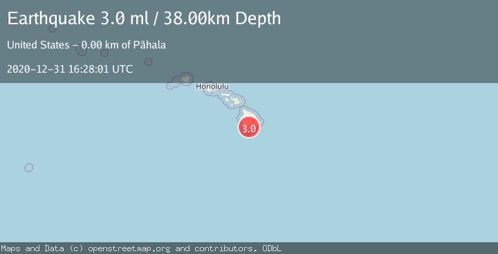
A 3.0 magnitude earthquake struck on ISLAND OF HAWAII, HAWAII, at Thu, 31 Dec 2020 16:28:01 GMT. Depth: 38km. Reviewed by NEIC seismologists, this minor quake occurred at a magnitude type of ml.
Magnitude
3.0
ml
Source
NEIC
Intensity
-
Agency Reports
1 Sources| Source | Magnitude | Depth | Time |
|---|---|---|---|
| NEICPrimary | 3.0 | 38 km | 5 years ago |
Earthquake Details
AutomaticEvent IDemsc_NEIC_20201231_0000199
Tsunami PotentialNo
Magnitude Typeml
Nearest Places
- Kauhuhu‘ula0.4 km
- Meyer Reservoir0.9 km
- Kauhuhu‘ula Gulch1.1 km
- Meyer Camp (historical)1.1 km
- Pahala Airstrip1.2 km
Comments
Join the discussion about this event.
Latest Earthquakes
2.9Mag
Southeastern Alaska
Time4 minutes ago
Depth0.00 km
SourceVYT (Automatic)
1.8Mag
66 km ESE of Naalehu, Hawaii
Time6 minutes ago
Depth12.54 km
SourceUSGS (Automatic)
2.1Mag
northern Alaska
Time6 minutes ago
Depth0.00 km
SourceVYT (Automatic)
2.9Mag
Seram, Indonesia
Time15 minutes ago
Depth15.78 km
SourceBMKG
2.5Mag
Java, Indonesia
Time16 minutes ago
Depth115.38 km
SourceBMKG
Nearby Earthquakes
2.4Mag
ISLAND OF HAWAII, HAWAII
Time2 weeks ago
Depth27.70 km
SourceHV (Automatic)
4.0Mag
ISLAND OF HAWAII, HAWAII
Time4 years ago
Depth35.00 km
SourceNEIC (Automatic)
3.0Mag
ISLAND OF HAWAII, HAWAII
Time3 years ago
Depth14.00 km
SourceNEIC (Automatic)
3.0Mag
ISLAND OF HAWAII, HAWAII
Time4 years ago
Depth41.00 km
SourceNEIC (Automatic)
3.0Mag
ISLAND OF HAWAII, HAWAII
Time4 years ago
Depth35.00 km
SourceNEIC (Automatic)