Earthquake SOUTH OF KERMADEC ISLANDS
Wed, 27 Apr 2022 01:27:30 GMT
Time3 years ago
Location
-32.7000, -179.4800
Depth
120.0 KM
Event Summary
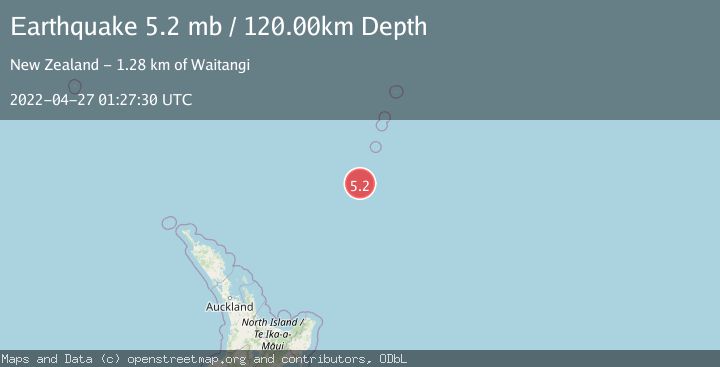
A 5.2 magnitude earthquake struck on SOUTH OF KERMADEC ISLANDS, at Wed, 27 Apr 2022 01:27:30 GMT. Depth: 120km. Reviewed by NEIC seismologists, this moderate quake occurred at a magnitude type of mb.
Magnitude
5.2
mb
Source
NEIC
Intensity
-
Agency Reports
1 Sources| Source | Magnitude | Depth | Time |
|---|---|---|---|
| NEICPrimary | 5.2 | 120 km | 3 years ago |
Earthquake Details
AutomaticEvent IDemsc_NEIC_20220427_0000018
Tsunami PotentialNo
Magnitude Typemb
Nearest Places
- Haungaroa Seamount16.9 km
- Speight Knoll36.3 km
- Oliver Knoll38.5 km
- Star of Bengal Bank47.5 km
- Kuiwai Seamount66.0 km
Comments
Join the discussion about this event.
Latest Earthquakes
3.5Mag
Banda Sea
Time5 minutes ago
Depth146.21 km
SourceBMKG
1.1Mag
10 km W of Toms Place, CA
Time6 minutes ago
Depth6.75 km
SourceUSGS (Automatic)
2.4Mag
Minahassa Peninsula, Sulawesi
Time10 minutes ago
Depth0.00 km
SourceBMKG
2.7Mag
Southern Sumatra, Indonesia
Time11 minutes ago
Depth84.28 km
SourceBMKG
2.3Mag
Halmahera, Indonesia
Time14 minutes ago
Depth8.61 km
SourceBMKG
Nearby Earthquakes
5.3Mag
SOUTH OF KERMADEC ISLANDS
Time15 years ago
Depth64.00 km
SourceEMSC (Automatic)
5.4Mag
SOUTH OF KERMADEC ISLANDS
Time2 years ago
Depth63.00 km
SourceEMSC (Automatic)
6.5Mag
SOUTH OF KERMADEC ISLANDS
Time20 years ago
Depth33.00 km
SourceEMSC (Automatic)
5.3Mag
SOUTH OF KERMADEC ISLANDS
Time20 years ago
Depth33.00 km
SourceEMSC (Automatic)
5.3Mag
SOUTH OF KERMADEC ISLANDS
Time15 years ago
Depth26.00 km
SourceEMSC (Automatic)