Earthquake SOUTHERN YUKON TERRITORY, CANADA
Thu, 01 Jan 2026 13:05:22 GMT
Time2 months ago
Location
60.4443, -139.9028
Depth
5.0 KM
Event Summary
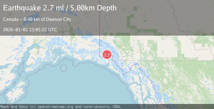
A 2.7 magnitude earthquake struck on SOUTHERN YUKON TERRITORY, CANADA, at Thu, 01 Jan 2026 13:05:22 GMT. Depth: 5km. Reviewed by NEIC seismologists, this minor quake occurred at a magnitude type of ml.
Magnitude
2.7
ml
Source
NEIC
Intensity
-
Agency Reports
1 Sources| Source | Magnitude | Depth | Time |
|---|---|---|---|
| NEICPrimary | 2.7 | 5 km | 2 months ago |
Earthquake Details
AutomaticEvent IDemsc_NEIC_20260101_0000439
Tsunami PotentialNo
Magnitude Typeml
Nearest Places
- 8.9 km
- 11.6 km
- 14.7 km
- 22.6 km
- 24.8 km
Comments
Join the discussion about this event.
Latest Earthquakes
1.6Mag
Finland
Time2 hours ago
Depth0.00 km
SourceVYT (Automatic)
3.5Mag
Southeastern Alaska
Time2 hours ago
Depth0.00 km
SourceVYT (Automatic)
2.7Mag
Flores Sea
Time3 hours ago
Depth114.14 km
SourceVYT (Automatic)
1.8Mag
12 km NNW of Pāhala, Hawaii
Time3 hours ago
Depth3.00 km
SourceUSGS (Automatic)
1.4Mag
Southeastern Alaska
Time3 hours ago
Depth8.91 km
SourceVYT (Automatic)
Nearby Earthquakes
1.9Mag
Southeastern Alaska
Time2 weeks ago
Depth1.22 km
SourceVYT (Automatic)
3.5Mag
Southeastern Alaska
Time2 hours ago
Depth0.00 km
SourceVYT (Automatic)
2.6Mag
SOUTHERN YUKON TERRITORY, CANADA
Time2 months ago
Depth5.00 km
SourceNEIC (Automatic)
1.9Mag
Southeastern Alaska
Time2 weeks ago
Depth0.00 km
SourceVYT (Automatic)
5.1Mag
SOUTHERN YUKON TERRITORY, CANADA
Time2 months ago
Depth4.50 km
SourceEMSC (Automatic)