Earthquake SOUTHERN YUKON TERRITORY, CANADA
Fri, 02 Jan 2026 16:23:06 GMT
Time1 month ago
Location
60.4617, -140.2297
Depth
5.0 KM
Event Summary
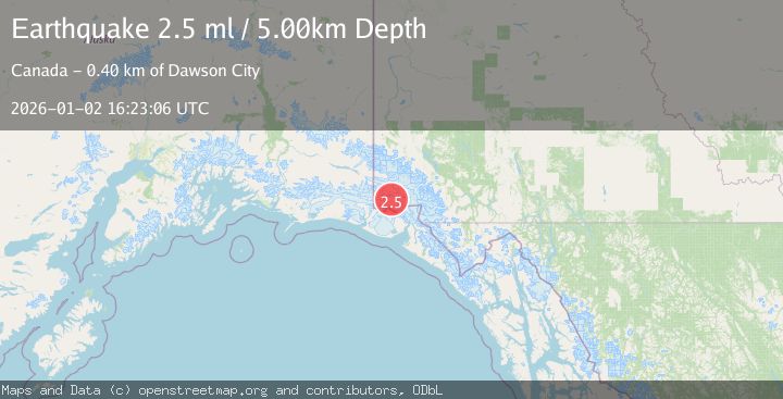
A 2.5 magnitude earthquake struck on SOUTHERN YUKON TERRITORY, CANADA, at Fri, 02 Jan 2026 16:23:06 GMT. Depth: 5km. Reviewed by NEIC seismologists, this minor quake occurred at a magnitude type of ml.
Magnitude
2.5
ml
Source
NEIC
Intensity
-
Agency Reports
1 Sources| Source | Magnitude | Depth | Time |
|---|---|---|---|
| NEICPrimary | 2.5 | 5 km | 1 month ago |
Earthquake Details
AutomaticEvent IDemsc_NEIC_20260102_0000236
Tsunami PotentialNo
Magnitude Typeml
Nearest Places
- Marker Lake14.4 km
- Mount Logan15.2 km
- McArthur Peak16.1 km
- Corwin Cliffs18.9 km
- Mount Eaton20.6 km
Comments
Join the discussion about this event.
Latest Earthquakes
2.4Mag
Tarapaca, Chile
Time1 minute ago
Depth0.00 km
SourceVYT (Automatic)
0.5Mag
9 km NW of The Geysers, CA
Time2 minutes ago
Depth2.35 km
SourceUSGS (Automatic)
3.6Mag
Offshore southern Greece
Time5 minutes ago
Depth200.20 km
SourceVYT (Automatic)
1.9Mag
Tarapaca, Chile
Time9 minutes ago
Depth109.38 km
SourceVYT (Automatic)
1.0Mag
2 km W of Anderson Springs, CA
Time11 minutes ago
Depth2.07 km
SourceUSGS (Automatic)
Nearby Earthquakes
2.7Mag
SOUTHERN YUKON TERRITORY, CANADA
Time1 month ago
Depth10.00 km
SourceNEIC (Automatic)
1.6Mag
Southeastern Alaska
Time1 week ago
Depth0.00 km
SourceVYT (Automatic)
2.7Mag
SOUTHERN YUKON TERRITORY, CANADA
Time1 month ago
Depth5.00 km
SourceNEIC (Automatic)
1.4Mag
Southeastern Alaska
Time3 days ago
Depth0.00 km
SourceVYT (Automatic)
2.5Mag
SOUTHERN YUKON TERRITORY, CANADA
Time1 month ago
Depth5.00 km
SourceNEIC (Automatic)