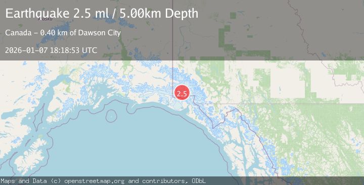
Earthquake SOUTHERN YUKON TERRITORY, CANADA
Wed, 07 Jan 2026 18:18:53 GMT
Time1 month ago
Location
60.4901, -140.1815
Depth
5.0 KM
Event Summary
A 2.5 magnitude earthquake struck on SOUTHERN YUKON TERRITORY, CANADA, at Wed, 07 Jan 2026 18:18:53 GMT. Depth: 5km. Reviewed by NEIC seismologists, this minor quake occurred at a magnitude type of ml.
Magnitude
2.5
ml
Source
NEIC
Intensity
-
Agency Reports
1 Sources| Source | Magnitude | Depth | Time |
|---|---|---|---|
| NEICPrimary | 2.5 | 5 km | 1 month ago |
Earthquake Details
AutomaticEvent IDemsc_NEIC_20260107_0000317
Tsunami PotentialNo
Magnitude Typeml
Nearest Places
- Marker Lake10.9 km
- McArthur Peak13.0 km
- Mount Logan14.9 km
- Mount King George22.1 km
- Corwin Cliffs22.6 km
Comments
Join the discussion about this event.
Latest Earthquakes
1.6Mag
14 km W of Johannesburg, CA
Time13 hours ago
Depth2.16 km
SourceUSGS (Automatic)
2.0Mag
Antofagasta, Chile
Time13 hours ago
Depth140.75 km
SourceVYT (Automatic)
1.5Mag
California-Baja California border region
Time13 hours ago
Depth16.24 km
SourceVYT (Automatic)
1.1Mag
6 km NW of The Geysers, CA
Time13 hours ago
Depth1.72 km
SourceUSGS (Automatic)
1.8Mag
Central Alaska
Time13 hours ago
Depth0.00 km
SourceVYT (Automatic)
Nearby Earthquakes
1.4Mag
Southeastern Alaska
Time3 days ago
Depth0.00 km
SourceVYT (Automatic)
1.8Mag
Southeastern Alaska
Time6 days ago
Depth0.00 km
SourceVYT (Automatic)
3.0Mag
SOUTHERN YUKON TERRITORY, CANADA
Time1 month ago
Depth5.00 km
SourceNEIC (Automatic)
3.5Mag
SOUTHERN YUKON TERRITORY, CANADA
Time1 month ago
Depth5.00 km
SourceNEIC (Automatic)
1.8Mag
Southeastern Alaska
Time1 day ago
Depth13.79 km
SourceVYT (Automatic)