Earthquake CENTRAL ALASKA
Fri, 02 Jan 2026 22:46:48 GMT
Time1 month ago
Location
63.1308, -151.4069
Depth
3.7 KM
Event Summary
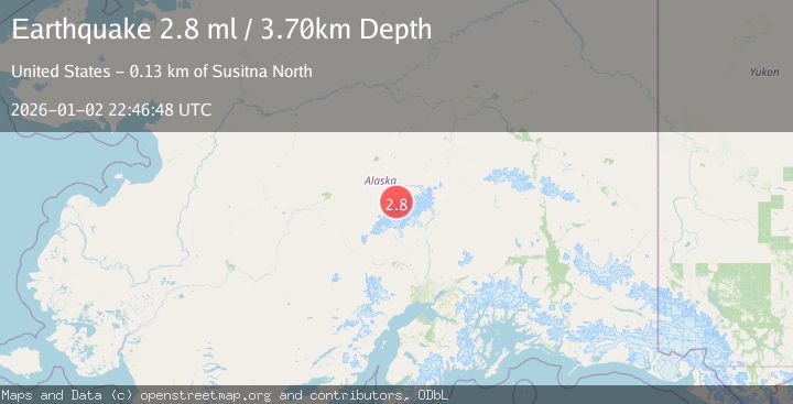
A 2.8 magnitude earthquake struck on CENTRAL ALASKA, at Fri, 02 Jan 2026 22:46:48 GMT. Depth: 3.7km. Reviewed by NEIC seismologists, this minor quake occurred at a magnitude type of ml.
Magnitude
2.8
ml
Source
NEIC
Intensity
-
Agency Reports
1 Sources| Source | Magnitude | Depth | Time |
|---|---|---|---|
| NEICPrimary | 2.8 | 4 km | 1 month ago |
Earthquake Details
AutomaticEvent IDemsc_NEIC_20260102_0000343
Tsunami PotentialNo
Magnitude Typeml
Nearest Places
- Spygalls Hill4.2 km
- Foraker Galcier8.9 km
- Peters Pass9.8 km
- Peters Dome10.3 km
- Peters Basin11.8 km
Comments
Join the discussion about this event.
Latest Earthquakes
1.8Mag
Southern California
Time5 hours ago
Depth13.43 km
SourceVYT (Automatic)
1.9Mag
Southern Alaska
Time5 hours ago
Depth0.00 km
SourceVYT (Automatic)
1.3Mag
Central Alaska
Time5 hours ago
Depth0.49 km
SourceVYT (Automatic)
2.3Mag
WESTERN TURKEY
Time5 hours ago
Depth12.60 km
SourceKOERI (Automatic)
1.3Mag
20 km E of Lowell Point, Alaska
Time5 hours ago
Depth8.70 km
SourceUSGS (Automatic)
Nearby Earthquakes
2.7Mag
Central Alaska
Time4 days ago
Depth0.12 km
SourceVYT (Automatic)
2.0Mag
Central Alaska
Time4 days ago
Depth0.00 km
SourceVYT (Automatic)
1.6Mag
50 km SSE of Denali National Park, Alaska
Time3 weeks ago
Depth5.00 km
SourceUSGS (Automatic)
3.0Mag
CENTRAL ALASKA
Time11 months ago
Depth13.00 km
SourceAK (Automatic)
1.7Mag
50 km SSE of Denali National Park, Alaska
Time3 weeks ago
Depth0.90 km
SourceUSGS (Automatic)