Earthquake 20 km E of Lowell Point, Alaska
Wed, 18 Feb 2026 05:16:15 GMT
Time1 hour ago
Location
60.0480, -149.0790
Depth
8.7 KM
Event Summary
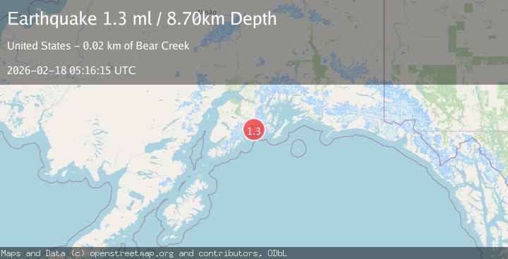
A 1.3 magnitude earthquake struck on 20 km E of Lowell Point, Alaska, at Wed, 18 Feb 2026 05:16:15 GMT. Depth: 8.7km. Reviewed by USGS seismologists, this minor quake occurred at a magnitude type of ml.
Magnitude
1.3
ml
Source
USGS
Intensity
-
Agency Reports
1 Sources| Source | Magnitude | Depth | Time |
|---|---|---|---|
| USGSPrimary | 1.3 | 9 km | 1 hour ago |
Earthquake Details
AutomaticEvent IDusgs_aka2026dkniub
Tsunami PotentialNo
Magnitude Typeml
Nearest Places
- Resolute Cove2.6 km
- Bowen Anchorage3.3 km
- Day Harbor5.3 km
- Anchor Cove5.7 km
- Talus Bay8.6 km
Comments
Join the discussion about this event.
Latest Earthquakes
3.6Mag
Timor Sea
Time1 hour ago
Depth182.86 km
SourceVYT (Automatic)
4.1Mag
Banda Sea
Time1 hour ago
Depth369.33 km
SourceBMKG
0.8Mag
6 km WNW of Cobb, CA
Time1 hour ago
Depth1.58 km
SourceUSGS (Automatic)
2.4Mag
Poland
Time1 hour ago
Depth0.24 km
SourceVYT (Automatic)
2.4Mag
San Juan, Argentina
Time1 hour ago
Depth10.00 km
SourceVYT (Automatic)
Nearby Earthquakes
3.0Mag
KENAI PENINSULA, ALASKA
Time4 years ago
Depth6.00 km
SourceNEIC (Automatic)
3.0Mag
KENAI PENINSULA, ALASKA
Time3 years ago
Depth16.00 km
SourceNEIR (Automatic)
3.6Mag
Kenai Peninsula, Alaska
Time1 week ago
Depth0.00 km
SourceVYT (Automatic)
3.0Mag
KENAI PENINSULA, ALASKA
Time1 year ago
Depth26.40 km
SourceNEIC (Automatic)
2.1Mag
Kenai Peninsula, Alaska
Time4 hours ago
Depth0.00 km
SourceVYT (Automatic)