Earthquake SOUTHERN YUKON TERRITORY, CANADA
Fri, 02 Jan 2026 00:29:13 GMT
Time1 month ago
Location
60.5567, -140.0672
Depth
1.3 KM
Event Summary
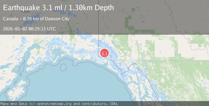
A 3.1 magnitude earthquake struck on SOUTHERN YUKON TERRITORY, CANADA, at Fri, 02 Jan 2026 00:29:13 GMT. Depth: 1.3km. Reviewed by NEIC seismologists, this minor quake occurred at a magnitude type of ml.
Magnitude
3.1
ml
Source
NEIC
Intensity
-
Agency Reports
1 Sources| Source | Magnitude | Depth | Time |
|---|---|---|---|
| NEICPrimary | 3.1 | 1 km | 1 month ago |
Earthquake Details
AutomaticEvent IDemsc_NEIC_20260102_0000351
Tsunami PotentialNo
Magnitude Typeml
Nearest Places
- Marker Lake6.6 km
- McArthur Peak9.7 km
- Mount King George15.6 km
- Mount Logan18.5 km
- Mount Queen Mary20.3 km
Comments
Join the discussion about this event.
Latest Earthquakes
3.0Mag
Java, Indonesia
Time3 minutes ago
Depth29.78 km
SourceBMKG
2.4Mag
Finland-Russia border region
Time4 minutes ago
Depth341.92 km
SourceVYT (Automatic)
0.9Mag
8 km W of Cobb, CA
Time9 minutes ago
Depth1.53 km
SourceUSGS (Automatic)
1.8Mag
Central Alaska
Time12 minutes ago
Depth2.08 km
SourceVYT (Automatic)
2.9Mag
WESTERN TURKEY
Time15 minutes ago
Depth11.80 km
SourceKOERI (Automatic)
Nearby Earthquakes
5.0Mag
SOUTHERN YUKON TERRITORY, CANADA
Time2 months ago
Depth10.00 km
SourceEMSC (Automatic)
2.5Mag
SOUTHERN YUKON TERRITORY, CANADA
Time3 weeks ago
Depth5.00 km
SourceCN (Automatic)
2.7Mag
SOUTHERN YUKON TERRITORY, CANADA
Time1 month ago
Depth5.00 km
SourceNEIC (Automatic)
2.6Mag
SOUTHERN YUKON TERRITORY, CANADA
Time1 month ago
Depth5.00 km
SourceNEIC (Automatic)
3.0Mag
Southeastern Alaska
Time2 days ago
Depth0.00 km
SourceVYT (Automatic)