Earthquake SOUTHERN YUKON TERRITORY, CANADA
Tue, 13 Jan 2026 18:28:43 GMT
Time1 month ago
Location
60.5511, -140.1010
Depth
5.0 KM
Event Summary
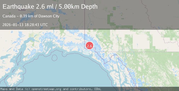
A 2.6 magnitude earthquake struck on SOUTHERN YUKON TERRITORY, CANADA, at Tue, 13 Jan 2026 18:28:43 GMT. Depth: 5km. Reviewed by NEIC seismologists, this minor quake occurred at a magnitude type of ml.
Magnitude
2.6
ml
Source
NEIC
Intensity
-
Agency Reports
1 Sources| Source | Magnitude | Depth | Time |
|---|---|---|---|
| NEICPrimary | 2.6 | 5 km | 1 month ago |
Earthquake Details
AutomaticEvent IDemsc_NEIC_20260113_0000302
Tsunami PotentialNo
Magnitude Typeml
Nearest Places
- Marker Lake7.6 km
- McArthur Peak8.7 km
- Mount Logan16.7 km
- Mount King George17.3 km
- Mount Queen Mary22.2 km
Comments
Join the discussion about this event.
Latest Earthquakes
3.0Mag
northern Sumatra, Indonesia
Time1 minute ago
Depth10.50 km
SourceVYT (Automatic)
1.6Mag
Kenai Peninsula, Alaska
Time9 minutes ago
Depth42.60 km
SourceVYT (Automatic)
2.4Mag
Finland
Time11 minutes ago
Depth301.88 km
SourceVYT (Automatic)
1.2Mag
Alaska Peninsula
Time12 minutes ago
Depth0.12 km
SourceVYT (Automatic)
2.6Mag
SAN JUAN, ARGENTINA
Time13 minutes ago
Depth92.00 km
SourceNSNA (Automatic)
Nearby Earthquakes
1.5Mag
Southeastern Alaska
Time1 day ago
Depth0.12 km
SourceVYT (Automatic)
3.0Mag
SOUTHERN YUKON TERRITORY, CANADA
Time1 month ago
Depth4.80 km
SourceNEIC (Automatic)
1.4Mag
Southeastern Alaska
Time2 days ago
Depth13.67 km
SourceVYT (Automatic)
3.1Mag
SOUTHERN YUKON TERRITORY, CANADA
Time1 month ago
Depth1.30 km
SourceNEIC (Automatic)
3.7Mag
SOUTHERN YUKON TERRITORY, CANADA
Time1 month ago
Depth5.00 km
SourceNEIC (Automatic)