Earthquake SOUTHERN YUKON TERRITORY, CANADA
Sat, 10 Jan 2026 12:12:22 GMT
Time1 month ago
Location
60.4550, -139.5422
Depth
5.0 KM
Event Summary
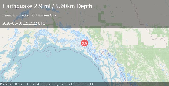
A 2.9 magnitude earthquake struck on SOUTHERN YUKON TERRITORY, CANADA, at Sat, 10 Jan 2026 12:12:22 GMT. Depth: 5km. Reviewed by NEIC seismologists, this minor quake occurred at a magnitude type of ml.
Magnitude
2.9
ml
Source
NEIC
Intensity
-
Agency Reports
1 Sources| Source | Magnitude | Depth | Time |
|---|---|---|---|
| NEICPrimary | 2.9 | 5 km | 1 month ago |
Earthquake Details
AutomaticEvent IDemsc_NEIC_20260110_0000155
Tsunami PotentialNo
Magnitude Typeml
Nearest Places
- St. Elias Mountains11.2 km
- Mount Vancouver13.7 km
- Hubbard Glacier15.3 km
- Mount King George15.9 km
- Hubbard Glacier18.3 km
Comments
Join the discussion about this event.
Latest Earthquakes
2.0Mag
Poland
Time1 minute ago
Depth0.49 km
SourceVYT (Automatic)
1.9Mag
Antofagasta, Chile
Time4 minutes ago
Depth9.40 km
SourceVYT (Automatic)
1.3Mag
8 km NW of The Geysers, CA
Time4 minutes ago
Depth2.00 km
SourceUSGS (Automatic)
1.2Mag
63 km WNW of Toyah, Texas
Time7 minutes ago
Depth0.08 km
SourceUSGS (Automatic)
1.4Mag
12 km SSW of Salton City, CA
Time11 minutes ago
Depth5.74 km
SourceUSGS (Automatic)
Nearby Earthquakes
3.0Mag
SOUTHERN YUKON TERRITORY, CANADA
Time2 months ago
Depth5.00 km
SourceNEIC (Automatic)
3.0Mag
SOUTHERN YUKON TERRITORY, CANADA
Time2 months ago
Depth6.60 km
SourceNEIC (Automatic)
2.6Mag
SOUTHERN YUKON TERRITORY, CANADA
Time2 weeks ago
Depth5.00 km
SourceCN (Automatic)
4.0Mag
SOUTHERN YUKON TERRITORY, CANADA
Time2 months ago
Depth5.00 km
SourceAK (Automatic)
2.9Mag
SOUTHERN YUKON TERRITORY, CANADA
Time1 week ago
Depth5.00 km
SourceNEIC (Automatic)