Earthquake SOUTH SANDWICH ISLANDS REGION
Mon, 12 Jan 2026 23:41:21 GMT
Time1 month ago
Location
-56.3899, -25.3524
Depth
10.0 KM
Event Summary
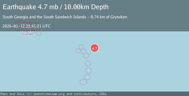
A 4.7 magnitude earthquake struck on SOUTH SANDWICH ISLANDS REGION, at Mon, 12 Jan 2026 23:41:21 GMT. Depth: 10km. Reviewed by NEIC seismologists, this light quake occurred at a magnitude type of mb.
Magnitude
4.7
mb
Source
NEIC
Intensity
-
Agency Reports
1 Sources| Source | Magnitude | Depth | Time |
|---|---|---|---|
| NEICPrimary | 4.7 | 10 km | 1 month ago |
Earthquake Details
AutomaticEvent IDemsc_NEIC_20260112_0000382
Tsunami PotentialNo
Magnitude Typemb
Nearest Places
- 24.9 km
- 53.3 km
- 102.4 km
- 108.0 km
- 108.7 km
Comments
Join the discussion about this event.
Latest Earthquakes
1.8Mag
Kenai Peninsula, Alaska
Time3 minutes ago
Depth12.21 km
SourceVYT (Automatic)
1.7Mag
Southern California
Time8 minutes ago
Depth14.89 km
SourceVYT (Automatic)
3.7Mag
Tarapaca, Chile
Time11 minutes ago
Depth57.01 km
SourceVYT (Automatic)
3.2Mag
Northern Molucca Sea
Time11 minutes ago
Depth10.65 km
SourceBMKG
4.7Mag
Rat Islands, Aleutian Islands, Alaska
Time14 minutes ago
Depth10.00 km
SourceVYT (Automatic)
Nearby Earthquakes
5.4Mag
SOUTH SANDWICH ISLANDS REGION
Time8 years ago
Depth10.00 km
SourceEMSC (Automatic)
5.2Mag
SOUTH SANDWICH ISLANDS REGION
Time15 years ago
Depth10.00 km
SourceEMSC (Automatic)
5.1Mag
SOUTH SANDWICH ISLANDS REGION
Time10 years ago
Depth33.00 km
SourceEMSC (Automatic)
5.5Mag
SOUTH SANDWICH ISLANDS REGION
Time7 years ago
Depth20.00 km
SourceEMSC (Automatic)
5.0Mag
SOUTH SANDWICH ISLANDS REGION
Time8 years ago
Depth10.00 km
SourceEMSC (Automatic)