Earthquake ALASKA PENINSULA
Tue, 13 Jan 2026 06:33:00 GMT
Time1 month ago
Location
56.7659, -156.6366
Depth
76.4 KM
Event Summary
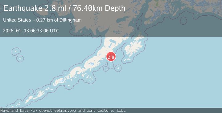
A 2.8 magnitude earthquake struck on ALASKA PENINSULA, at Tue, 13 Jan 2026 06:33:00 GMT. Depth: 76.4km. Reviewed by NEIC seismologists, this minor quake occurred at a magnitude type of ml.
Magnitude
2.8
ml
Source
NEIC
Intensity
-
Agency Reports
1 Sources| Source | Magnitude | Depth | Time |
|---|---|---|---|
| NEICPrimary | 2.8 | 76 km | 1 month ago |
Earthquake Details
AutomaticEvent IDemsc_NEIC_20260113_0000091
Tsunami PotentialNo
Magnitude Typeml
Nearest Places
- Radial Island9.3 km
- Devils Finger11.4 km
- Toee Reef13.1 km
- Ugaiushak Island14.0 km
- Aiugnak Columns15.4 km
Comments
Join the discussion about this event.
Latest Earthquakes
2.8Mag
Sulawesi, Indonesia
Time3 minutes ago
Depth21.08 km
SourceBMKG
2.1Mag
WESTERN TURKEY
Time7 minutes ago
Depth12.30 km
SourceKOERI (Automatic)
2.2Mag
Alaska Peninsula
Time7 minutes ago
Depth57.74 km
SourceVYT (Automatic)
3.8Mag
WESTERN TURKEY
Time10 minutes ago
Depth13.30 km
SourceKOERI (Automatic)
1.6Mag
27 km ESE of Balmorhea, Texas
Time10 minutes ago
Depth3.56 km
SourceUSGS (Automatic)
Nearby Earthquakes
5.0Mag
ALASKA PENINSULA
Time10 years ago
Depth63.00 km
SourceEMSC (Automatic)
6.8Mag
ALASKA PENINSULA
Time10 years ago
Depth60.00 km
SourceEMSC (Automatic)
2.6Mag
Alaska Peninsula
Time4 days ago
Depth68.97 km
SourceVYT (Automatic)
5.3Mag
ALASKA PENINSULA
Time10 years ago
Depth71.00 km
SourceEMSC (Automatic)
2.3Mag
Alaska Peninsula
Time2 days ago
Depth72.02 km
SourceVYT (Automatic)