Earthquake SOUTHERN ALASKA
Fri, 16 Jan 2026 10:42:03 GMT
Time1 month ago
Location
59.4286, -152.7632
Depth
89.0 KM
Event Summary
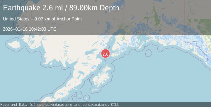
A 2.6 magnitude earthquake struck on SOUTHERN ALASKA, at Fri, 16 Jan 2026 10:42:03 GMT. Depth: 89km. Reviewed by NEIC seismologists, this minor quake occurred at a magnitude type of ml.
Magnitude
2.6
ml
Source
NEIC
Intensity
-
Agency Reports
1 Sources| Source | Magnitude | Depth | Time |
|---|---|---|---|
| NEICPrimary | 2.6 | 89 km | 1 month ago |
Earthquake Details
AutomaticEvent IDemsc_NEIC_20260116_0000179
Tsunami PotentialNo
Magnitude Typeml
Nearest Places
- Jakolof Bay13.7 km
- Cook Inlet26.1 km
- Chinitna Point33.6 km
- Dry Bay34.6 km
- Bow Creek34.7 km
Comments
Join the discussion about this event.
Latest Earthquakes
1.6Mag
Kenai Peninsula, Alaska
Time1 minute ago
Depth42.60 km
SourceVYT (Automatic)
2.4Mag
Finland
Time4 minutes ago
Depth301.88 km
SourceVYT (Automatic)
1.2Mag
Alaska Peninsula
Time5 minutes ago
Depth0.12 km
SourceVYT (Automatic)
4.1Mag
NEAR COAST OF NORTHERN PERU
Time9 minutes ago
Depth35.00 km
SourceLIM (Automatic)
3.1Mag
DODECANESE IS.-TURKEY BORDER REG
Time11 minutes ago
Depth4.10 km
SourceKOERI (Automatic)
Nearby Earthquakes
3.0Mag
SOUTHERN ALASKA
Time2 years ago
Depth77.60 km
SourceNEIC (Automatic)
2.1Mag
47 km W of Nanwalek, Alaska
Time1 week ago
Depth85.40 km
SourceUSGS (Automatic)
3.0Mag
SOUTHERN ALASKA
Time11 years ago
Depth88.00 km
SourceNEIR (Automatic)
2.7Mag
SOUTHERN ALASKA
Time1 week ago
Depth84.20 km
SourceNEIC (Automatic)
4.0Mag
SOUTHERN ALASKA
Time4 months ago
Depth99.00 km
SourceNEIC (Automatic)