Earthquake SOUTHERN ALASKA
Wed, 11 Feb 2026 08:52:02 GMT
Time1 week ago
Location
59.4644, -152.7731
Depth
84.2 KM
Event Summary
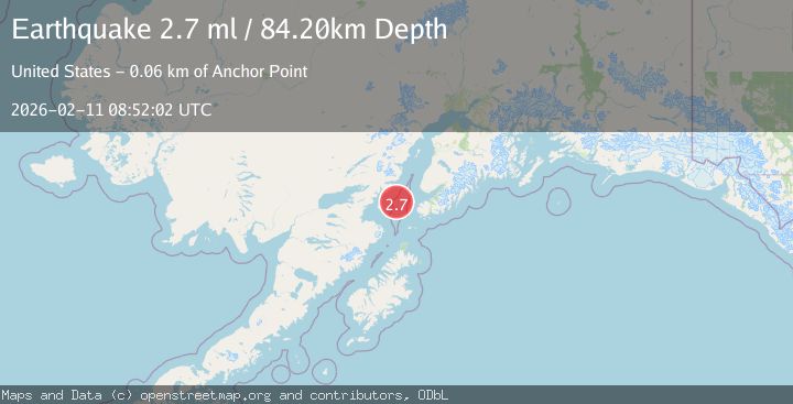
A 2.7 magnitude earthquake struck on SOUTHERN ALASKA, at Wed, 11 Feb 2026 08:52:02 GMT. Depth: 84.2km. Reviewed by NEIC seismologists, this minor quake occurred at a magnitude type of ml.
Magnitude
2.7
ml
Source
NEIC
Intensity
-
Agency Reports
1 Sources| Source | Magnitude | Depth | Time |
|---|---|---|---|
| NEICPrimary | 2.7 | 84 km | 1 week ago |
Earthquake Details
AutomaticEvent IDemsc_NEIC_20260211_0000414
Tsunami PotentialNo
Magnitude Typeml
Nearest Places
- Jakolof Bay13.6 km
- Cook Inlet29.8 km
- Chinitna Point29.9 km
- Bow Creek30.9 km
- Dry Bay31.1 km
Comments
Join the discussion about this event.
Latest Earthquakes
1.4Mag
Central Alaska
Time4 hours ago
Depth0.00 km
SourceVYT (Automatic)
1.4Mag
western Texas
Time4 hours ago
Depth6.84 km
SourceVYT (Automatic)
1.3Mag
Southern Alaska
Time4 hours ago
Depth96.80 km
SourceVYT (Automatic)
2.2Mag
Java, Indonesia
Time4 hours ago
Depth97.25 km
SourceBMKG
2.9Mag
Ceram Sea
Time4 hours ago
Depth12.69 km
SourceBMKG
Nearby Earthquakes
3.0Mag
SOUTHERN ALASKA
Time2 years ago
Depth77.60 km
SourceNEIC (Automatic)
4.0Mag
SOUTHERN ALASKA
Time4 months ago
Depth99.00 km
SourceNEIC (Automatic)
2.6Mag
SOUTHERN ALASKA
Time1 month ago
Depth89.00 km
SourceNEIC (Automatic)
2.1Mag
47 km W of Nanwalek, Alaska
Time1 week ago
Depth85.40 km
SourceUSGS (Automatic)
2.8Mag
SOUTHERN ALASKA
Time1 month ago
Depth80.50 km
SourceNEIC (Automatic)