Earthquake KODIAK ISLAND REGION, ALASKA
Fri, 16 Jan 2026 11:14:06 GMT
Time1 month ago
Location
58.9776, -153.0322
Depth
72.4 KM
Event Summary
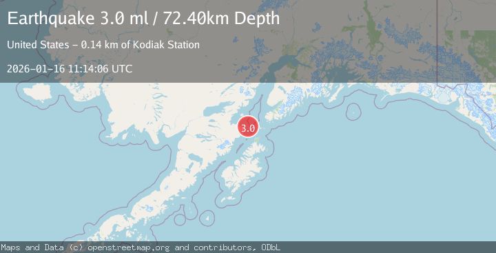
A 3.0 magnitude earthquake struck on KODIAK ISLAND REGION, ALASKA, at Fri, 16 Jan 2026 11:14:06 GMT. Depth: 72.4km. Reviewed by NEIC seismologists, this minor quake occurred at a magnitude type of ml.
Magnitude
3.0
ml
Source
NEIC
Intensity
-
Agency Reports
1 Sources| Source | Magnitude | Depth | Time |
|---|---|---|---|
| NEICPrimary | 3.0 | 72 km | 1 month ago |
Earthquake Details
AutomaticEvent IDemsc_NEIC_20260116_0000189
Tsunami PotentialNo
Magnitude Typeml
Nearest Places
- Cape Douglas18.8 km
- Sukoi Bay19.8 km
- Shaw Island20.4 km
- Cook Inlet26.4 km
- Ashivak26.8 km
Comments
Join the discussion about this event.
Latest Earthquakes
1.2Mag
Southern Alaska
Time7 minutes ago
Depth37.11 km
SourceVYT (Automatic)
3.0Mag
Seram, Indonesia
Time7 minutes ago
Depth12.36 km
SourceBMKG
1.1Mag
Washington
Time12 minutes ago
Depth9.64 km
SourceVYT (Automatic)
1.3Mag
WESTERN TURKEY
Time12 minutes ago
Depth8.60 km
SourceAFAD (Automatic)
1.9Mag
32 km NW of Toyah, Texas
Time14 minutes ago
Depth4.09 km
SourceUSGS (Automatic)
Nearby Earthquakes
3.0Mag
KODIAK ISLAND REGION, ALASKA
Time5 years ago
Depth69.00 km
SourceNEIC (Automatic)
3.0Mag
SOUTHERN ALASKA
Time7 months ago
Depth78.60 km
SourceNEIC (Automatic)
3.0Mag
KODIAK ISLAND REGION, ALASKA
Time7 years ago
Depth63.00 km
SourceNEIR (Automatic)
2.1Mag
62 km SW of Nanwalek, Alaska
Time1 day ago
Depth70.20 km
SourceUSGS (Automatic)
5.1Mag
SOUTHERN ALASKA
Time9 years ago
Depth52.00 km
SourceEMSC (Automatic)