Earthquake 62 km SW of Nanwalek, Alaska
Mon, 16 Feb 2026 18:41:57 GMT
Time1 day ago
Location
59.0430, -152.8300
Depth
70.2 KM
Event Summary
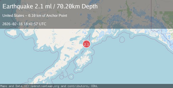
A 2.1 magnitude earthquake struck on 62 km SW of Nanwalek, Alaska, at Mon, 16 Feb 2026 18:41:57 GMT. Depth: 70.2km. Reviewed by USGS seismologists, this minor quake occurred at a magnitude type of ml.
Magnitude
2.1
ml
Source
USGS
Intensity
-
Agency Reports
1 Sources| Source | Magnitude | Depth | Time |
|---|---|---|---|
| USGSPrimary | 2.1 | 70 km | 1 day ago |
Earthquake Details
AutomaticEvent IDusgs_ak2026dhwphs
Tsunami PotentialNo
Magnitude Typeml
Nearest Places
- Cook Inlet17.9 km
- Northwest Point30.6 km
- Shaw Island32.0 km
- Cape Douglas32.1 km
- Sukoi Bay33.5 km
Comments
Join the discussion about this event.
Latest Earthquakes
1.9Mag
Antofagasta, Chile
Time2 minutes ago
Depth9.40 km
SourceVYT (Automatic)
1.3Mag
8 km NW of The Geysers, CA
Time2 minutes ago
Depth2.00 km
SourceUSGS (Automatic)
1.2Mag
63 km WNW of Toyah, Texas
Time4 minutes ago
Depth0.08 km
SourceUSGS (Automatic)
1.4Mag
12 km SSW of Salton City, CA
Time8 minutes ago
Depth5.74 km
SourceUSGS (Automatic)
1.2Mag
Southern Alaska
Time14 minutes ago
Depth37.11 km
SourceVYT (Automatic)
Nearby Earthquakes
5.1Mag
SOUTHERN ALASKA
Time9 years ago
Depth52.00 km
SourceEMSC (Automatic)
3.0Mag
KODIAK ISLAND REGION, ALASKA
Time5 years ago
Depth69.00 km
SourceNEIC (Automatic)
3.0Mag
SOUTHERN ALASKA
Time3 years ago
Depth69.00 km
SourceNEIC (Automatic)
3.0Mag
KODIAK ISLAND REGION, ALASKA
Time1 month ago
Depth72.40 km
SourceNEIC (Automatic)
3.8Mag
KODIAK ISLAND REGION, ALASKA
Time3 weeks ago
Depth68.20 km
SourceAK (Automatic)