Earthquake SOUTHERN ALASKA
Sat, 17 Jan 2026 18:26:01 GMT
Time1 month ago
Location
61.2139, -151.3584
Depth
92.4 KM
Event Summary
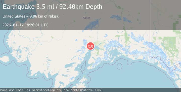
A 3.5 magnitude earthquake struck on SOUTHERN ALASKA, at Sat, 17 Jan 2026 18:26:01 GMT. Depth: 92.4km. Reviewed by NEIC seismologists, this minor quake occurred at a magnitude type of ml.
Magnitude
3.5
ml
Source
NEIC
Intensity
-
Agency Reports
1 Sources| Source | Magnitude | Depth | Time |
|---|---|---|---|
| NEICPrimary | 3.5 | 92 km | 1 month ago |
Earthquake Details
AutomaticEvent IDemsc_NEIC_20260117_0000204
Tsunami PotentialNo
Magnitude Typeml
Nearest Places
- Denslow Lake2.1 km
- Felt Lake5.7 km
- Lone Ridge6.3 km
- Cook Inlet Alaska Native Regional Corporation8.9 km
- Chuit Creek10.2 km
Comments
Join the discussion about this event.
Latest Earthquakes
2.2Mag
Tarapaca, Chile
Time30 minutes ago
Depth0.12 km
SourceVYT (Automatic)
3.7Mag
Adriatic Sea
Time31 minutes ago
Depth10.00 km
SourceVYT (Automatic)
1.2Mag
4 km W of Lake Henshaw, CA
Time31 minutes ago
Depth12.20 km
SourceUSGS (Automatic)
2.6Mag
Near North Coast of West Papua
Time33 minutes ago
Depth10.00 km
SourceBMKG
3.4Mag
Jujuy, Argentina
Time38 minutes ago
Depth299.32 km
SourceVYT (Automatic)
Nearby Earthquakes
3.0Mag
SOUTHERN ALASKA
Time2 years ago
Depth74.90 km
SourceNEIC (Automatic)
2.7Mag
SOUTHERN ALASKA
Time1 month ago
Depth78.40 km
SourceNEIC (Automatic)
3.3Mag
SOUTHERN ALASKA
Time2 months ago
Depth85.30 km
SourceNEIC (Automatic)
5.0Mag
SOUTHERN ALASKA
Time2 months ago
Depth89.80 km
SourceEMSC (Automatic)
2.7Mag
SOUTHERN ALASKA
Time1 month ago
Depth74.40 km
SourceNEIC (Automatic)