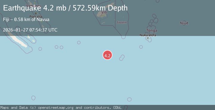
Earthquake SOUTH OF FIJI ISLANDS
Tue, 27 Jan 2026 07:54:37 GMT
Time2 hours ago
Location
-23.4333, 178.8661
Depth
572.6 KM
Event Summary
A 4.2 magnitude earthquake struck on SOUTH OF FIJI ISLANDS, at Tue, 27 Jan 2026 07:54:37 GMT. Depth: 572.6km. Reviewed by NEIC seismologists, this light quake occurred at a magnitude type of mb.
Magnitude
4.2
mb
Source
NEIC
Intensity
-
Agency Reports
2 Sources| Source | Magnitude | Depth | Time |
|---|---|---|---|
| NEICPrimary | 4.2 | 573 km | 2 hours ago |
| USGS | 4.2 | 573 km | 2 hours ago |
Earthquake Details
AutomaticEvent IDemsc_NEIC_20260127_0000123
Tsunami PotentialNo
Magnitude Typemb
Nearest Places
- South Minerva Reef212.3 km
- Herald Bight212.3 km
- Minerva Reefs221.9 km
- North Minerva Reef225.4 km
- Moore Ridge345.8 km
Comments
Join the discussion about this event.
Latest Earthquakes
2.3Mag
Java, Indonesia
Time2 hours ago
Depth11.91 km
SourceBMKG (Automatic)
3.0Mag
51 km SE of Bettles, Alaska
Time2 hours ago
Depth5.10 km
SourceUSGS (Automatic)
1.4Mag
WESTERN TURKEY
Time2 hours ago
Depth6.60 km
SourceAFAD (Automatic)
1.5Mag
CENTRAL TURKEY
Time3 hours ago
Depth8.80 km
SourceAFAD (Automatic)
1.4Mag
6 km NNW of The Geysers, CA
Time3 hours ago
Depth2.61 km
SourceUSGS (Automatic)
Nearby Earthquakes
4.7Mag
south of the Fiji Islands
Time1 week ago
Depth527.00 km
SourceUSGS
4.9Mag
SOUTH OF FIJI ISLANDS
Time2 days ago
Depth590.40 km
SourceNEIC (Automatic)
5.2Mag
SOUTH OF FIJI ISLANDS
Time2 days ago
Depth509.60 km
SourceNEIC (Automatic)
5.0Mag
FIJI REGION
Time3 days ago
Depth574.00 km
SourceEMSC (Automatic)
4.9Mag
FIJI REGION
Time2 days ago
Depth577.80 km
SourceNEIC (Automatic)