Earthquake ALASKA PENINSULA
Thu, 17 Apr 2014 13:57:09 GMT
Time11 years ago
Location
57.3100, -156.0200
Depth
100.0 KM
Event Summary
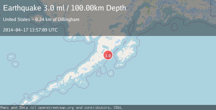
A 3.0 magnitude earthquake struck on ALASKA PENINSULA, at Thu, 17 Apr 2014 13:57:09 GMT. Depth: 100km. Reviewed by NEIR seismologists, this minor quake occurred at a magnitude type of ml.
Magnitude
3.0
ml
Source
NEIR
Intensity
-
Agency Reports
1 Sources| Source | Magnitude | Depth | Time |
|---|---|---|---|
| NEIRPrimary | 3.0 | 100 km | 11 years ago |
Earthquake Details
AutomaticEvent IDemsc_NEIR_20140417_0000058
Tsunami PotentialNo
Magnitude Typeml
Nearest Places
- Cape Igvak13.9 km
- Cape Igvak14.6 km
- East Channel Islands15.5 km
- Channel Rock15.9 km
- West Channel Island16.1 km
Comments
Join the discussion about this event.
Latest Earthquakes
1.1Mag
Southern Alaska
Time1 minute ago
Depth37.11 km
SourceVYT (Automatic)
1.1Mag
Washington
Time6 minutes ago
Depth9.64 km
SourceVYT (Automatic)
1.9Mag
32 km NW of Toyah, Texas
Time8 minutes ago
Depth4.09 km
SourceUSGS (Automatic)
1.7Mag
western Texas
Time11 minutes ago
Depth3.42 km
SourceVYT (Automatic)
3.8Mag
Seram, Indonesia
Time13 minutes ago
Depth0.00 km
SourceVYT (Automatic)
Nearby Earthquakes
3.0Mag
ALASKA PENINSULA
Time6 years ago
Depth7.00 km
SourceNEIR (Automatic)
2.5Mag
ALASKA PENINSULA
Time1 month ago
Depth84.10 km
SourceNEIC (Automatic)
3.0Mag
ALASKA PENINSULA
Time1 year ago
Depth1.50 km
SourceNEIC (Automatic)
2.3Mag
85 km ESE of Ugashik, Alaska
Time1 week ago
Depth16.80 km
SourceUSGS (Automatic)
2.5Mag
ALASKA PENINSULA
Time1 month ago
Depth62.70 km
SourceNEIC (Automatic)