Earthquake 85 km ESE of Ugashik, Alaska
Sat, 07 Feb 2026 22:29:57 GMT
Time1 hour ago
Location
57.2060, -156.1020
Depth
16.8 KM
Event Summary
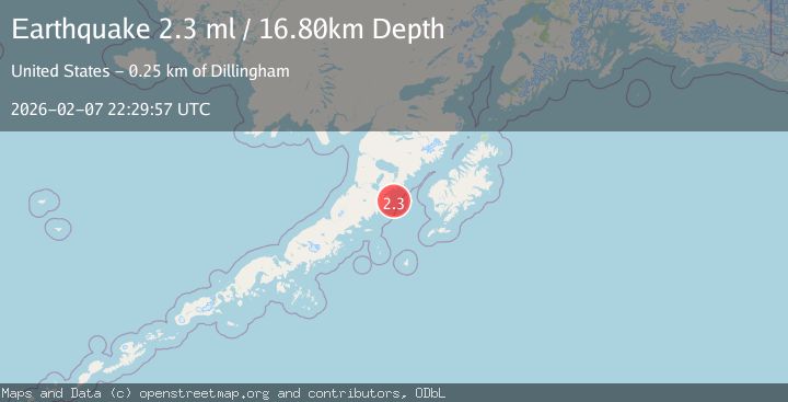
A 2.3 magnitude earthquake struck on 85 km ESE of Ugashik, Alaska, at Sat, 07 Feb 2026 22:29:57 GMT. Depth: 16.8km. Reviewed by USGS seismologists, this minor quake occurred at a magnitude type of ml.
Magnitude
2.3
ml
Source
USGS
Intensity
-
Agency Reports
1 Sources| Source | Magnitude | Depth | Time |
|---|---|---|---|
| USGSPrimary | 2.3 | 17 km | 1 hour ago |
Earthquake Details
AutomaticEvent IDusgs_ak2026crqpvt
Tsunami PotentialNo
Magnitude Typeml
Nearest Places
- Kilokak Rocks12.0 km
- Cape Kilokak14.5 km
- Imuya Bay15.0 km
- Kilokak Creek15.6 km
- Cape Kayakliut16.3 km
Comments
Join the discussion about this event.
Latest Earthquakes
1.6Mag
31 km NNE of Paxson, Alaska
Time4 minutes ago
Depth6.40 km
SourceUSGS (Automatic)
4.4Mag
Northern Molucca Sea
Time9 minutes ago
Depth13.92 km
SourceBMKG (Automatic)
3.2Mag
Sunda Strait, Indonesia
Time15 minutes ago
Depth22.53 km
SourceBMKG (Automatic)
2.2Mag
Java, Indonesia
Time20 minutes ago
Depth12.80 km
SourceBMKG (Automatic)
3.5Mag
West Papua Region, Indonesia
Time28 minutes ago
Depth60.58 km
SourceBMKG (Automatic)
Nearby Earthquakes
2.4Mag
48 km ESE of Ugashik, Alaska
Time1 day ago
Depth100.10 km
SourceUSGS (Automatic)
1.9Mag
62 km WSW of Karluk, Alaska
Time2 weeks ago
Depth59.00 km
SourceUSGS (Automatic)
2.3Mag
87 km W of Akhiok, Alaska
Time17 hours ago
Depth30.00 km
SourceUSGS (Automatic)
2.5Mag
112 km SE of Ugashik, Alaska
Time2 weeks ago
Depth51.20 km
SourceUSGS (Automatic)
1.4Mag
85 km WNW of Karluk, Alaska
Time2 weeks ago
Depth17.30 km
SourceUSGS (Automatic)