Earthquake ISLAND OF HAWAII, HAWAII
Fri, 12 Aug 2016 09:24:34 GMT
Time9 years ago
Location
19.1800, -155.6400
Depth
2.0 KM
Event Summary
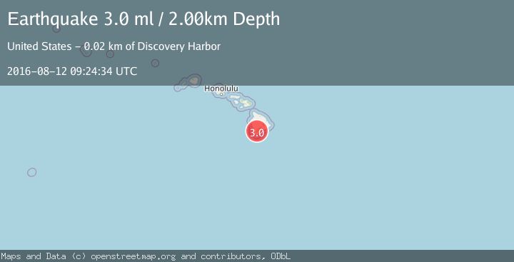
A 3.0 magnitude earthquake struck on ISLAND OF HAWAII, HAWAII, at Fri, 12 Aug 2016 09:24:34 GMT. Depth: 2km. Reviewed by NEIR seismologists, this minor quake occurred at a magnitude type of ml.
Magnitude
3.0
ml
Source
NEIR
Intensity
-
Agency Reports
1 Sources| Source | Magnitude | Depth | Time |
|---|---|---|---|
| NEIRPrimary | 3.0 | 2 km | 9 years ago |
Earthquake Details
AutomaticEvent IDemsc_NEIR_20160812_0000065
Tsunami PotentialNo
Magnitude Typeml
Nearest Places
- Wright Camp3.2 km
- Na Manua Haalou3.5 km
- Palimuku3.5 km
- Nānu‘amai‘a3.8 km
- Old Plantation Spring4.1 km
Comments
Join the discussion about this event.
Latest Earthquakes
3.0Mag
Southern Alaska
Time20 hours ago
Depth53.34 km
SourceVYT (Automatic)
1.9Mag
Tarapaca, Chile
Time20 hours ago
Depth0.00 km
SourceVYT (Automatic)
2.4Mag
Sulawesi, Indonesia
Time20 hours ago
Depth4.26 km
SourceBMKG
2.2Mag
Northern Sumatra, Indonesia
Time20 hours ago
Depth8.25 km
SourceBMKG
2.5Mag
CRETE, GREECE
Time20 hours ago
Depth17.50 km
SourceNOA (Automatic)
Nearby Earthquakes
2.0Mag
ISLAND OF HAWAII, HAWAII
Time1 month ago
Depth7.90 km
SourceHV (Automatic)
4.0Mag
ISLAND OF HAWAII, HAWAII
Time4 years ago
Depth5.00 km
SourceNEIC (Automatic)
3.0Mag
ISLAND OF HAWAII, HAWAII
Time6 months ago
Depth-0.10 km
SourceHV (Automatic)
4.0Mag
ISLAND OF HAWAII, HAWAII
Time1 year ago
Depth7.50 km
SourceHV (Automatic)
3.0Mag
ISLAND OF HAWAII, HAWAII
Time10 years ago
Depth1.00 km
SourceNEIR (Automatic)