Earthquake SOUTHERN ALASKA
Tue, 17 Jan 2017 17:38:19 GMT
Time9 years ago
Location
59.7500, -152.5400
Depth
84.0 KM
Event Summary
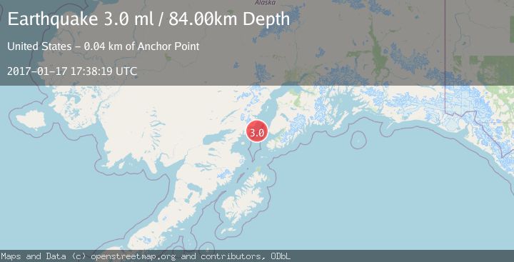
A 3.0 magnitude earthquake struck on SOUTHERN ALASKA, at Tue, 17 Jan 2017 17:38:19 GMT. Depth: 84km. Reviewed by NEIR seismologists, this minor quake occurred at a magnitude type of ml.
Magnitude
3.0
ml
Source
NEIR
Intensity
-
Agency Reports
1 Sources| Source | Magnitude | Depth | Time |
|---|---|---|---|
| NEIRPrimary | 3.0 | 84 km | 9 years ago |
Earthquake Details
AutomaticEvent IDemsc_NEIR_20170117_0000067
Tsunami PotentialNo
Magnitude Typeml
Nearest Places
- Red River20.7 km
- Spring Point20.7 km
- Shelter Cove21.1 km
- Herbs Lagoon21.4 km
- Shelter Creek21.9 km
Comments
Join the discussion about this event.
Latest Earthquakes
3.2Mag
Antofagasta, Chile
Time8 minutes ago
Depth124.27 km
SourceVYT (Automatic)
1.7Mag
Kenai Peninsula, Alaska
Time14 minutes ago
Depth28.44 km
SourceVYT (Automatic)
1.7Mag
Tarapaca, Chile
Time17 minutes ago
Depth6.47 km
SourceVYT (Automatic)
1.9Mag
Central Alaska
Time19 minutes ago
Depth81.18 km
SourceVYT (Automatic)
1.2Mag
21 km ENE of Little Lake, CA
Time20 minutes ago
Depth0.90 km
SourceUSGS (Automatic)
Nearby Earthquakes
3.0Mag
SOUTHERN ALASKA
Time11 months ago
Depth96.40 km
SourceNEIC (Automatic)
2.6Mag
37 km WSW of Anchor Point, Alaska
Time3 weeks ago
Depth93.10 km
SourceUSGS (Automatic)
2.3Mag
SOUTHERN ALASKA
Time1 month ago
Depth85.50 km
SourceNEIC (Automatic)
1.7Mag
41 km W of Anchor Point, Alaska
Time1 week ago
Depth94.30 km
SourceUSGS (Automatic)
2.6Mag
SOUTHERN ALASKA
Time1 month ago
Depth79.40 km
SourceNEIC (Automatic)