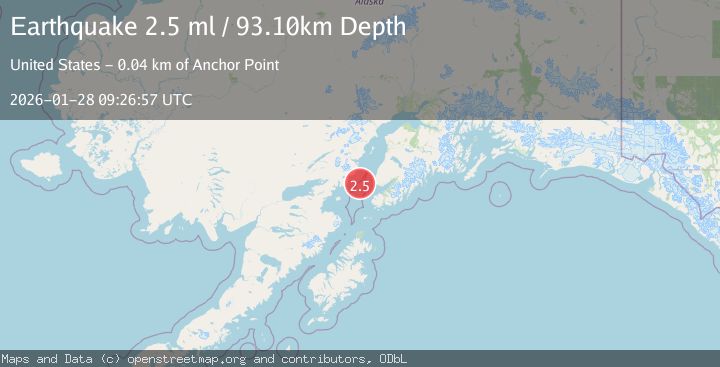
Earthquake 37 km WSW of Anchor Point, Alaska
Wed, 28 Jan 2026 09:26:57 GMT
Time1 hour ago
Location
59.6970, -152.4850
Depth
93.1 KM
Event Summary
A 2.5 magnitude earthquake struck on 37 km WSW of Anchor Point, Alaska, at Wed, 28 Jan 2026 09:26:57 GMT. Depth: 93.1km. Reviewed by USGS seismologists, this minor quake occurred at a magnitude type of ml.
Magnitude
2.5
ml
Source
USGS
Intensity
-
Agency Reports
1 Sources| Source | Magnitude | Depth | Time |
|---|---|---|---|
| USGSPrimary | 2.5 | 93 km | 1 hour ago |
Earthquake Details
AutomaticEvent IDusgs_ak2026byhkju
Tsunami PotentialNo
Magnitude Typeml
Nearest Places
- Jakolof Bay25.8 km
- Spring Point27.1 km
- Red River27.3 km
- Shelter Cove27.6 km
- Herbs Lagoon27.9 km
Comments
Join the discussion about this event.
Latest Earthquakes
5.3Mag
OFF EAST COAST OF HONSHU, JAPAN
Time10 minutes ago
Depth21.00 km
SourceEMSC (Automatic)
3.5Mag
CRETE, GREECE
Time14 minutes ago
Depth5.00 km
SourceTHE (Automatic)
2.5Mag
FRANCE
Time18 minutes ago
Depth5.00 km
SourceReNaSS (Automatic)
1.1Mag
NEAR THE COAST OF WESTERN TURKEY
Time19 minutes ago
Depth7.00 km
SourceAFAD (Automatic)
3.3Mag
Sumbawa Region, Indonesia
Time20 minutes ago
Depth14.04 km
SourceBMKG (Automatic)
Nearby Earthquakes
2.6Mag
59 km W of Anchor Point, Alaska
Time2 days ago
Depth84.90 km
SourceUSGS (Automatic)
2.5Mag
SOUTHERN ALASKA
Time1 day ago
Depth72.00 km
SourceAK (Automatic)
2.2Mag
61 km W of Anchor Point, Alaska
Time1 day ago
Depth97.80 km
SourceUSGS (Automatic)
2.0Mag
66 km ESE of Pedro Bay, Alaska
Time5 days ago
Depth95.00 km
SourceUSGS (Automatic)
2.2Mag
52 km WNW of Anchor Point, Alaska
Time3 days ago
Depth101.30 km
SourceUSGS (Automatic)