Earthquake ALASKA PENINSULA
Mon, 13 Feb 2017 19:17:28 GMT
Time9 years ago
Location
54.1800, -162.5900
Depth
13.0 KM
Event Summary
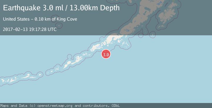
A 3.0 magnitude earthquake struck on ALASKA PENINSULA, at Mon, 13 Feb 2017 19:17:28 GMT. Depth: 13km. Reviewed by NEIR seismologists, this minor quake occurred at a magnitude type of ml.
Magnitude
3.0
ml
Source
NEIR
Intensity
-
Agency Reports
1 Sources| Source | Magnitude | Depth | Time |
|---|---|---|---|
| NEIRPrimary | 3.0 | 13 km | 9 years ago |
Earthquake Details
AutomaticEvent IDemsc_NEIR_20170213_0000183
Tsunami PotentialNo
Magnitude Typeml
Nearest Places
- Seal Rock12.9 km
- Haystack Rock14.1 km
- South Rock15.0 km
- Sanak Reefs15.8 km
- Dora Island16.3 km
Comments
Join the discussion about this event.
Latest Earthquakes
3.0Mag
Southern Alaska
Time2 minutes ago
Depth53.34 km
SourceVYT (Automatic)
1.9Mag
Tarapaca, Chile
Time2 minutes ago
Depth0.00 km
SourceVYT (Automatic)
2.4Mag
Sulawesi, Indonesia
Time11 minutes ago
Depth4.26 km
SourceBMKG
2.2Mag
Northern Sumatra, Indonesia
Time15 minutes ago
Depth8.25 km
SourceBMKG
2.5Mag
CRETE, GREECE
Time22 minutes ago
Depth17.50 km
SourceNOA (Automatic)
Nearby Earthquakes
2.5Mag
ALASKA PENINSULA
Time2 months ago
Depth10.00 km
SourceNEIC (Automatic)
3.0Mag
ALASKA PENINSULA
Time2 years ago
Depth15.00 km
SourceAK (Automatic)
3.0Mag
ALASKA PENINSULA
Time9 years ago
Depth7.00 km
SourceNEIR (Automatic)
2.6Mag
ALASKA PENINSULA
Time3 weeks ago
Depth35.00 km
SourceNEIC (Automatic)
3.0Mag
ALASKA PENINSULA
Time9 years ago
Depth26.00 km
SourceNEIR (Automatic)