Earthquake SOUTHERN ALASKA
Sat, 02 Dec 2017 04:13:41 GMT
Time8 years ago
Location
59.8400, -153.4700
Depth
139.0 KM
Event Summary
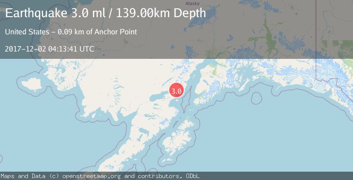
A 3.0 magnitude earthquake struck on SOUTHERN ALASKA, at Sat, 02 Dec 2017 04:13:41 GMT. Depth: 139km. Reviewed by NEIR seismologists, this minor quake occurred at a magnitude type of ml.
Magnitude
3.0
ml
Source
NEIR
Intensity
-
Agency Reports
1 Sources| Source | Magnitude | Depth | Time |
|---|---|---|---|
| NEIRPrimary | 3.0 | 139 km | 8 years ago |
Earthquake Details
AutomaticEvent IDemsc_NEIR_20171202_0000012
Tsunami PotentialNo
Magnitude Typeml
Nearest Places
- Roscoe Peak6.2 km
- Iniskin River6.4 km
- Roscoe Creek8.5 km
- Mount Eleanor8.9 km
- Sugarloaf Mountain9.1 km
Comments
Join the discussion about this event.
Latest Earthquakes
2.4Mag
Finland-Russia border region
Time2 hours ago
Depth341.92 km
SourceVYT (Automatic)
0.9Mag
8 km W of Cobb, CA
Time2 hours ago
Depth1.53 km
SourceUSGS (Automatic)
1.8Mag
Central Alaska
Time2 hours ago
Depth2.08 km
SourceVYT (Automatic)
2.9Mag
WESTERN TURKEY
Time2 hours ago
Depth11.80 km
SourceKOERI (Automatic)
2.8Mag
Sulawesi, Indonesia
Time2 hours ago
Depth21.08 km
SourceBMKG
Nearby Earthquakes
3.0Mag
SOUTHERN ALASKA
Time9 years ago
Depth141.00 km
SourceNEIR (Automatic)
3.0Mag
SOUTHERN ALASKA
Time5 months ago
Depth118.20 km
SourceNEIC (Automatic)
3.0Mag
SOUTHERN ALASKA
Time3 years ago
Depth138.00 km
SourceNEIC (Automatic)
3.0Mag
SOUTHERN ALASKA
Time3 years ago
Depth134.00 km
SourceNEIC (Automatic)
3.0Mag
SOUTHERN ALASKA
Time8 years ago
Depth135.00 km
SourceNEIC (Automatic)