Earthquake SOUTHERN ALASKA
Fri, 17 Jun 2016 02:01:57 GMT
Time9 years ago
Location
59.8400, -153.5100
Depth
141.0 KM
Event Summary
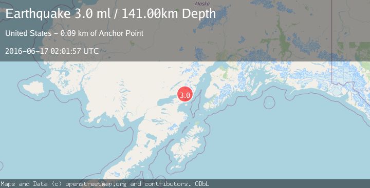
A 3.0 magnitude earthquake struck on SOUTHERN ALASKA, at Fri, 17 Jun 2016 02:01:57 GMT. Depth: 141km. Reviewed by NEIR seismologists, this minor quake occurred at a magnitude type of ml.
Magnitude
3.0
ml
Source
NEIR
Intensity
-
Agency Reports
1 Sources| Source | Magnitude | Depth | Time |
|---|---|---|---|
| NEIRPrimary | 3.0 | 141 km | 9 years ago |
Earthquake Details
AutomaticEvent IDemsc_NEIR_20160617_0000007
Tsunami PotentialNo
Magnitude Typeml
Nearest Places
- Iniskin River7.1 km
- Roscoe Peak7.6 km
- Sugarloaf Mountain9.2 km
- Mount Eleanor10.6 km
- Roscoe Creek10.6 km
Comments
Join the discussion about this event.
Latest Earthquakes
2.2Mag
Washington
Time16 hours ago
Depth27.59 km
SourceVYT (Automatic)
2.4Mag
Antofagasta, Chile
Time16 hours ago
Depth133.18 km
SourceVYT (Automatic)
2.4Mag
Central Alaska
Time16 hours ago
Depth0.00 km
SourceVYT (Automatic)
2.5Mag
Java, Indonesia
Time16 hours ago
Depth14.39 km
SourceBMKG
1.5Mag
Alaska Peninsula
Time16 hours ago
Depth31.37 km
SourceVYT (Automatic)
Nearby Earthquakes
3.0Mag
SOUTHERN ALASKA
Time8 years ago
Depth139.00 km
SourceNEIR (Automatic)
3.0Mag
SOUTHERN ALASKA
Time11 years ago
Depth100.00 km
SourceNEIR (Automatic)
2.2Mag
SOUTHERN ALASKA
Time1 month ago
Depth138.10 km
SourceNEIC (Automatic)
3.0Mag
SOUTHERN ALASKA
Time5 months ago
Depth118.20 km
SourceNEIC (Automatic)
3.0Mag
SOUTHERN ALASKA
Time3 years ago
Depth138.00 km
SourceNEIC (Automatic)