Earthquake SOUTHERN ALASKA
Fri, 29 Jun 2018 07:06:15 GMT
Time7 years ago
Location
59.8800, -152.1900
Depth
14.0 KM
Event Summary
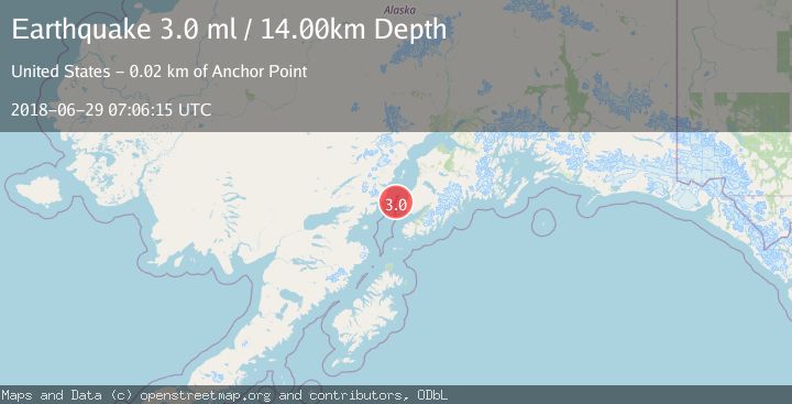
A 3.0 magnitude earthquake struck on SOUTHERN ALASKA, at Fri, 29 Jun 2018 07:06:15 GMT. Depth: 14km. Reviewed by NEIR seismologists, this minor quake occurred at a magnitude type of ml.
Magnitude
3.0
ml
Source
NEIR
Intensity
-
Agency Reports
1 Sources| Source | Magnitude | Depth | Time |
|---|---|---|---|
| NEIRPrimary | 3.0 | 14 km | 7 years ago |
Earthquake Details
AutomaticEvent IDemsc_NEIR_20180629_0000186
Tsunami PotentialNo
Magnitude Typeml
Nearest Places
- Anchor River21.1 km
- Laida Spit21.2 km
- Laida Slough21.2 km
- Granroos Creek21.3 km
- Whiskey Gulch21.3 km
Comments
Join the discussion about this event.
Latest Earthquakes
1.2Mag
Southern Alaska
Time7 minutes ago
Depth37.11 km
SourceVYT (Automatic)
3.0Mag
Seram, Indonesia
Time7 minutes ago
Depth12.36 km
SourceBMKG
1.1Mag
Washington
Time12 minutes ago
Depth9.64 km
SourceVYT (Automatic)
1.3Mag
WESTERN TURKEY
Time12 minutes ago
Depth8.60 km
SourceAFAD (Automatic)
1.9Mag
32 km NW of Toyah, Texas
Time14 minutes ago
Depth4.09 km
SourceUSGS (Automatic)
Nearby Earthquakes
2.8Mag
SOUTHERN ALASKA
Time3 weeks ago
Depth72.00 km
SourceAK (Automatic)
1.6Mag
Southern Alaska
Time5 days ago
Depth60.55 km
SourceVYT (Automatic)
3.0Mag
SOUTHERN ALASKA
Time3 years ago
Depth78.00 km
SourceNEIC (Automatic)
3.0Mag
SOUTHERN ALASKA
Time2 years ago
Depth95.00 km
SourceNEIC (Automatic)
1.9Mag
Southern Alaska
Time1 week ago
Depth100.95 km
SourceVYT (Automatic)